UN/LOCODE hub · Greece
GRPYL

Pýlos

36.9000°, 21.6833°
2,345
Population
2
Transport functions

Transport Functions

Port
Road
UN/LOCODE

Hub Profile

Place type
District seat
GeoNames
Region
Peloponnese
GeoNames
Population
2,345
GeoNames
Time zone
Europe/Athens
GeoNames
Elevation
3 m
GeoNames

Location

Location of GRPYL
Natural Earth 10m (public domain) · Peloponnese · GRPYL · 36.90, 21.68GoogleOSMYandex

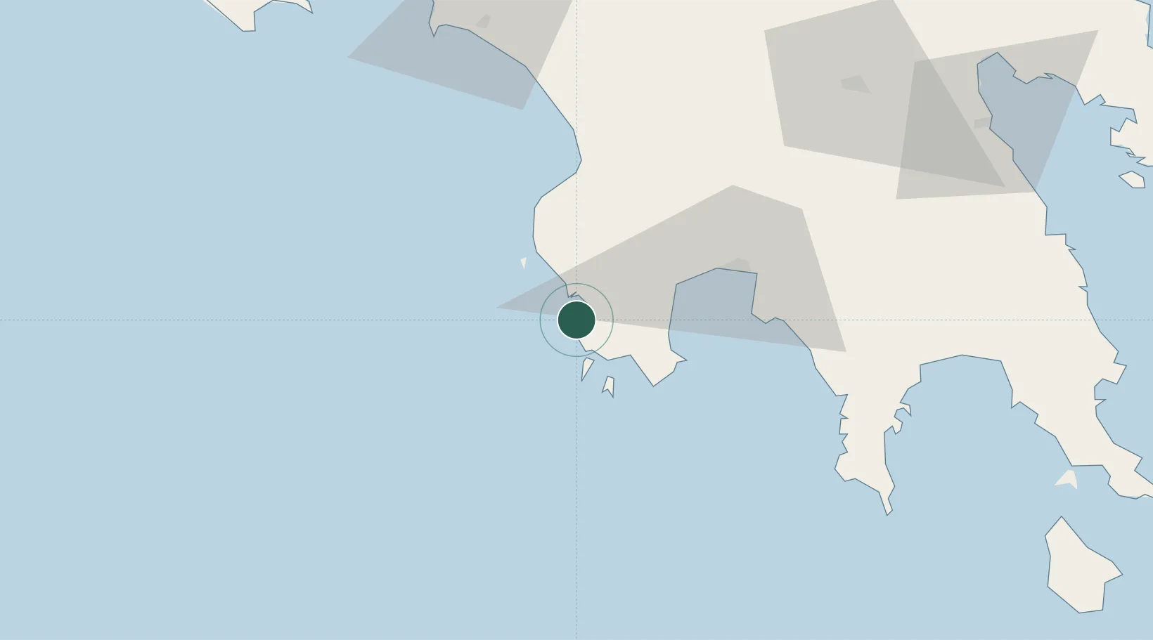
Nearby Logistics Neighbours

Cities
  1. 1Methoni10 km
  2. 2Kiparissia39 km
  3. 3Kalamáta41 km
  4. 4Xirokámbion69 km
  5. 5Gythion80 km
Nearest neighbours — logibook spatial index (haversine) over the source coordinates
Ports
  1. 1Pilos2 km
  2. 2Kalamata41 km
  3. 3Yithion80 km
  4. 4Katakolon90 km
  5. 5Navplio124 km
Nearest neighbours — logibook spatial index (haversine) over the source coordinates
Airports
  1. 1Kalamata Airport36 km
  2. 2Zakynthos International Airport Dionysios Solomos118 km
  3. 3Andravida Air Base119 km
  4. 4Kithira Airport138 km
  5. 5Patras Araxos Agamemnon Airport141 km
Nearest neighbours — logibook spatial index (haversine) over the source coordinates
Trade Zones
  1. 1Free Zone of Platigiali (Astakos Etoloakarnanias)183 km
  2. 2Free Zone of Piraeus206 km
  3. 3Free Zone of Heraklion359 km
  4. 4Gjirokastër Freezone376 km
  5. 5Përmet Freezone389 km
Nearest neighbours — logibook spatial index (haversine) over the source coordinates
DatabookThe Record of Consolidated Knowledge
Greece beyond logistics?
Browse databook

All Sources

LocationsUN/LOCODE
UN/LOCODE — free
LocationsGeoNames
CC BY 4.0
Portsthe NGA World Port Index
Public domain (US gov)
AirportsOurAirports
Public domain
Trade Zonesthe World Bank SEZ database
CC BY 4.0
Trade ZonesOpen Zone Map
CC BY
← Greece locations