UN/LOCODE hub · United Kingdom
GBCKR
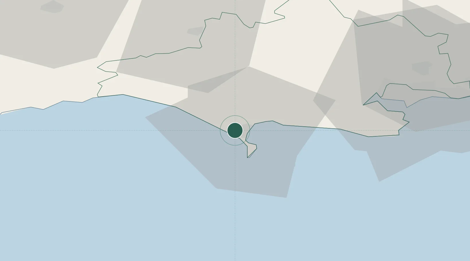
Chickerell
50.6167°, -2.5000°
2,966
Population
1
Transport functions
Transport Functions
Port
Hub Profile
Place type
Populated place
Region
England
Population
2,966
Time zone
Europe/London
Elevation
29 m
Location
Nearby Logistics Neighbours
Cities
- 1Wyke Regis4 km
- 2Ferrybridge6 km
- 3Castletown7 km
- 4Abbotsbury9 km
- 5Whitcombe10 km
Ports
- 1Weymouth Harbour4 km
- 2Portland Harbour6 km
- 3Bridport Harbour22 km
- 4Poole Harbour40 km
- 5Bridgwater67 km
Airports
- 1RNAS Yeovilton45 km
- 2Bournemouth Airport50 km
- 3Exeter International Airport66 km
- 4MoD Boscombe Down80 km
- 5Bristol Airport87 km
Trade Zones
DatabookThe Record of Consolidated Knowledge
United Kingdom beyond logistics?