UN/LOCODE hub · United Kingdom
GBFRX
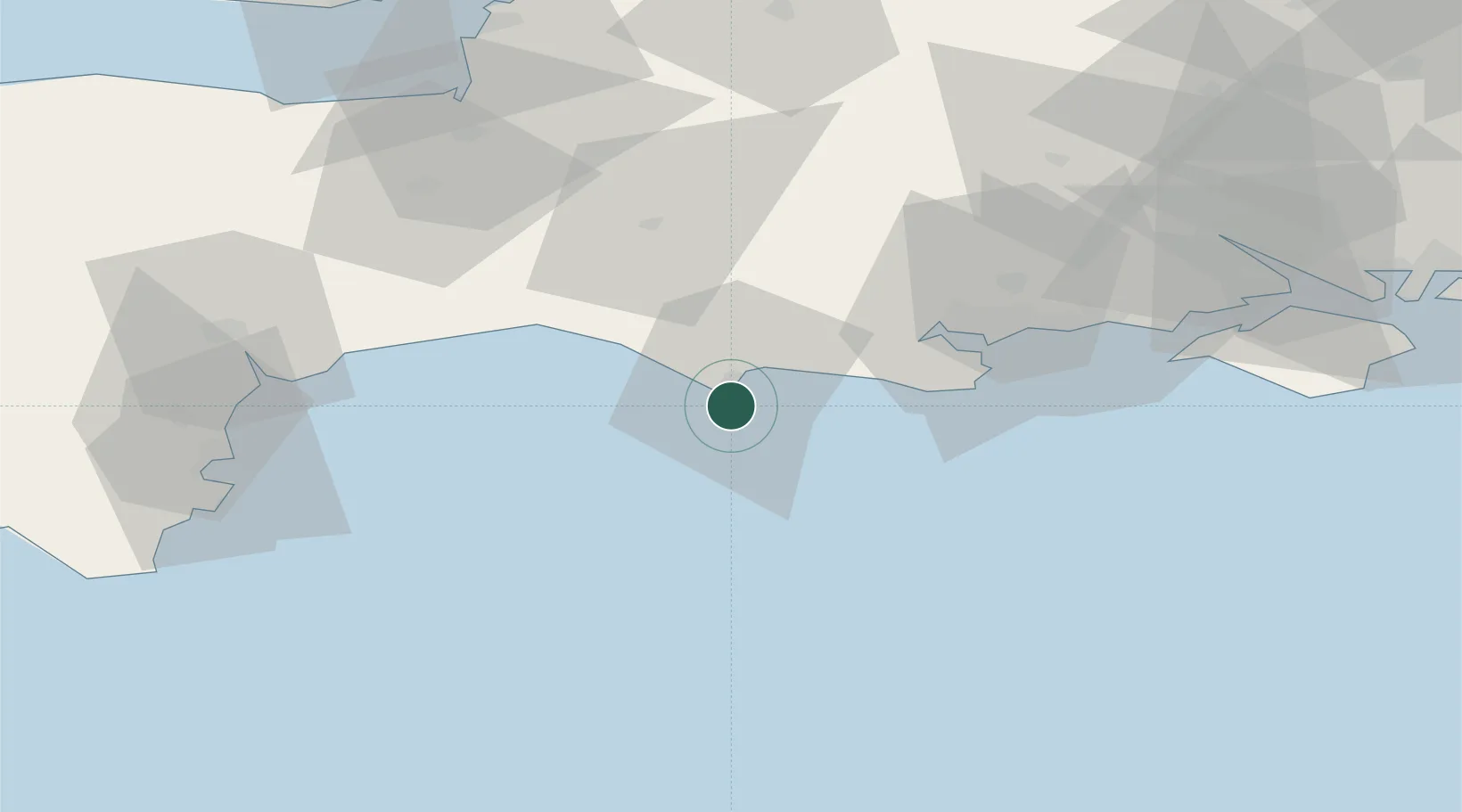
Ferrybridge
50.5667°, -2.4667°
1,491
Population
1
Transport functions
Transport Functions
Port
Hub Profile
Place type
Populated place
Region
England
Population
1,491
Time zone
Europe/London
Elevation
18 m
Location
Nearby Logistics Neighbours
Cities
- 1Castletown1 km
- 2Wyke Regis2 km
- 3Chickerell6 km
- 4Whitcombe14 km
- 5Broadmayne14 km
Ports
- 1Portland Harbour3 km
- 2Weymouth Harbour6 km
- 3Bridport Harbour27 km
- 4Poole Harbour39 km
- 5Yarmouth Harbour70 km
Airports
- 1Bournemouth Airport50 km
- 2RNAS Yeovilton51 km
- 3Exeter International Airport69 km
- 4MoD Boscombe Down82 km
- 5Southampton Airport89 km
Trade Zones
DatabookThe Record of Consolidated Knowledge
United Kingdom beyond logistics?