Transport Functions
Port
Hub Profile
Place type
Populated place
Region
England
Time zone
Europe/London
Elevation
13 m
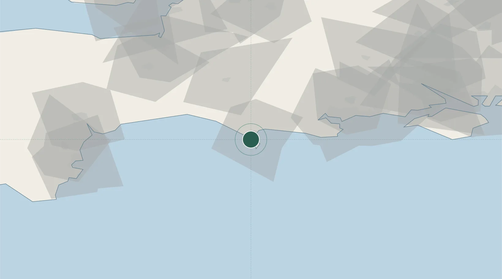
Location
Nearby Logistics Neighbours
Cities
- 1Ferrybridge2 km
- 2Castletown3 km
- 3Chickerell4 km
- 4Abbotsbury12 km
- 5Whitcombe13 km
Ports
- 1Portland Harbour4 km
- 2Weymouth Harbour4 km
- 3Bridport Harbour25 km
- 4Poole Harbour39 km
- 5Yarmouth Harbour71 km
Airports
- 1RNAS Yeovilton49 km
- 2Bournemouth Airport50 km
- 3Exeter International Airport68 km
- 4MoD Boscombe Down82 km
- 5Southampton Airport89 km
Trade Zones
DatabookThe Record of Consolidated Knowledge
United Kingdom beyond logistics?