Channel & Berth Profile
Pilotage, Tugs & Services
Pilotage compulsoryYES
Local assistanceYES
Tug assistanceYES
Salvage tugsNO
Potable waterYES
Diesel bunkersYES
MedicalYES
Garbage disposalYES
Facilities & Capabilities
Container—
Ro-Ro—
Liquid bulk—
Dry bulk—
Oil terminal—
Break bulk—
Dry dock—
RepairsNO
BunkeringYES
Rail linkYES
Dangerous cargo—
ISPS security—
Harbour Specifications
Harbour size
Very Small
Harbour type
River (Natural)
Shelter
Fair
Water body
English Channel; North Atlantic Ocean
Tidal range
6 m
Overhead limit
No
Pilotage
Yes
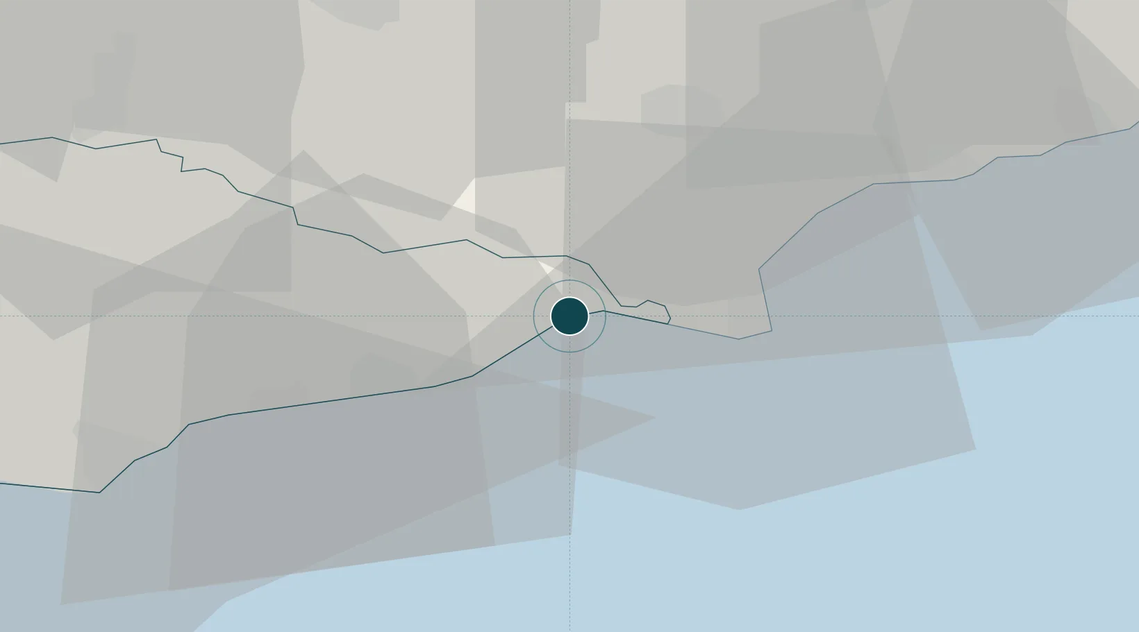
Location
Nearby Logistics Neighbours
Ports
- 1Folkestone Harbour35 km
- 2Dover Harbor45 km
- 3Whitstable52 km
- 4Newhaven Harbour53 km
- 5Chatham Docks54 km
Cities
- 1Camber1 km
- 2Stone7 km
- 3Four Oaks10 km
- 4Lydd on Sea13 km
- 5New Romney13 km
Airports
- 1Lydd London Ashford Airport12 km
- 2London Biggin Hill Airport68 km
- 3London Gatwick Airport71 km
- 4London Southend Airport71 km
- 5Brighton City Airport75 km
Trade Zones
DatabookThe Record of Consolidated Knowledge
United Kingdom beyond logistics?