Transport Functions
Port
Road
Hub Profile
Place type
Populated place
Region
England
Population
800
Time zone
Europe/London
Elevation
57 m
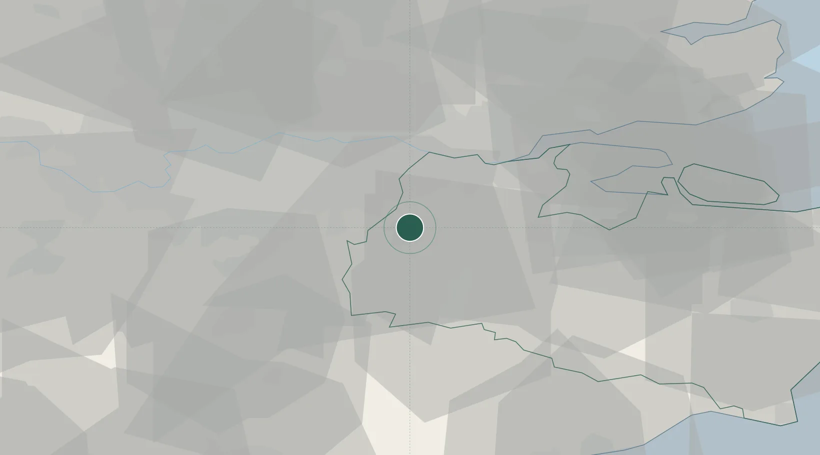
Location
Nearby Logistics Neighbours
Cities
- 1Kemsing3 km
- 2Weald11 km
- 3Bickley13 km
- 4Chiddingstone Causeway13 km
- 5Bexley13 km
Ports
- 1Gravesend20 km
- 2Tilbury20 km
- 3Chatham Docks27 km
- 4London28 km
- 5Isle Of Grain38 km
Airports
- 1London Biggin Hill Airport11 km
- 2London City Airport23 km
- 3London Gatwick Airport32 km
- 4London Southend Airport45 km
- 5London Heathrow Airport48 km
Trade Zones
DatabookThe Record of Consolidated Knowledge
United Kingdom beyond logistics?