Transport Functions
Port
Road
Hub Profile
Place type
Populated place
Region
Scotland
Time zone
Europe/London
Elevation
3 m
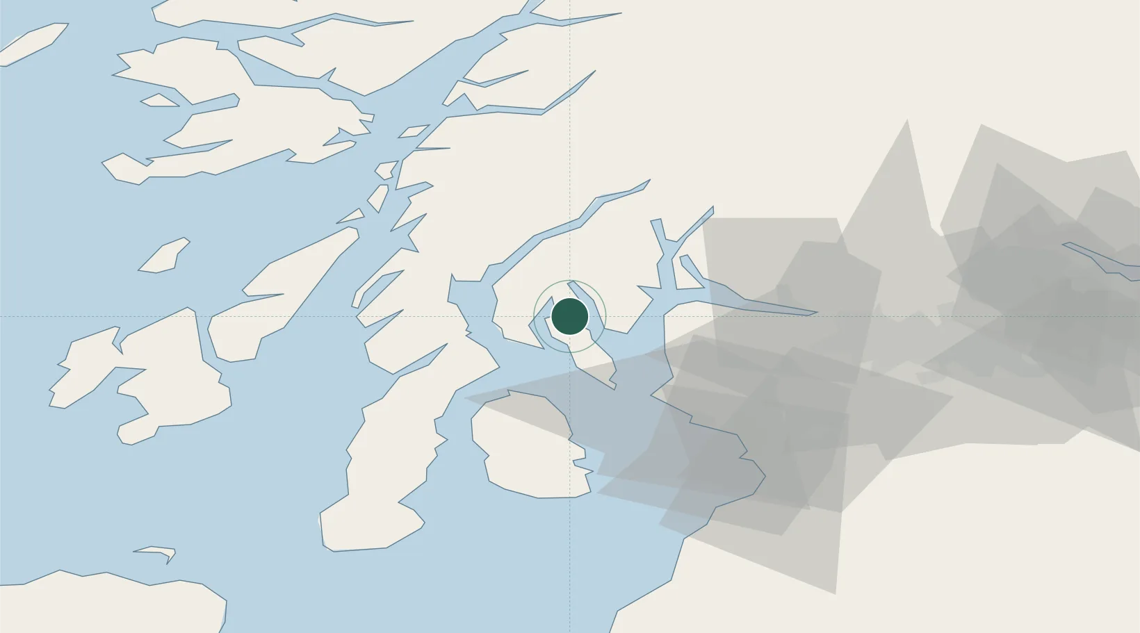
Location
Nearby Logistics Neighbours
Cities
- 1Rhubodach, Isle of Bute0 km
- 2Rothesay, Isle of Bute4 km
- 3Loch Striven5 km
- 4Ardmaleish6 km
- 5Tighnabruaich7 km
Ports
- 1Rothesay Harbor11 km
- 2Largs21 km
- 3Ardrishaig23 km
- 4Millport23 km
- 5Greenock24 km
Airports
- 1Glasgow Airport44 km
- 2Glasgow Prestwick Airport58 km
- 3Oban Airport63 km
- 4Campbeltown Airport64 km
- 5Colonsay Airstrip71 km
Trade Zones
DatabookThe Record of Consolidated Knowledge
United Kingdom beyond logistics?