UN/LOCODE hub · United Kingdom
GBWMB
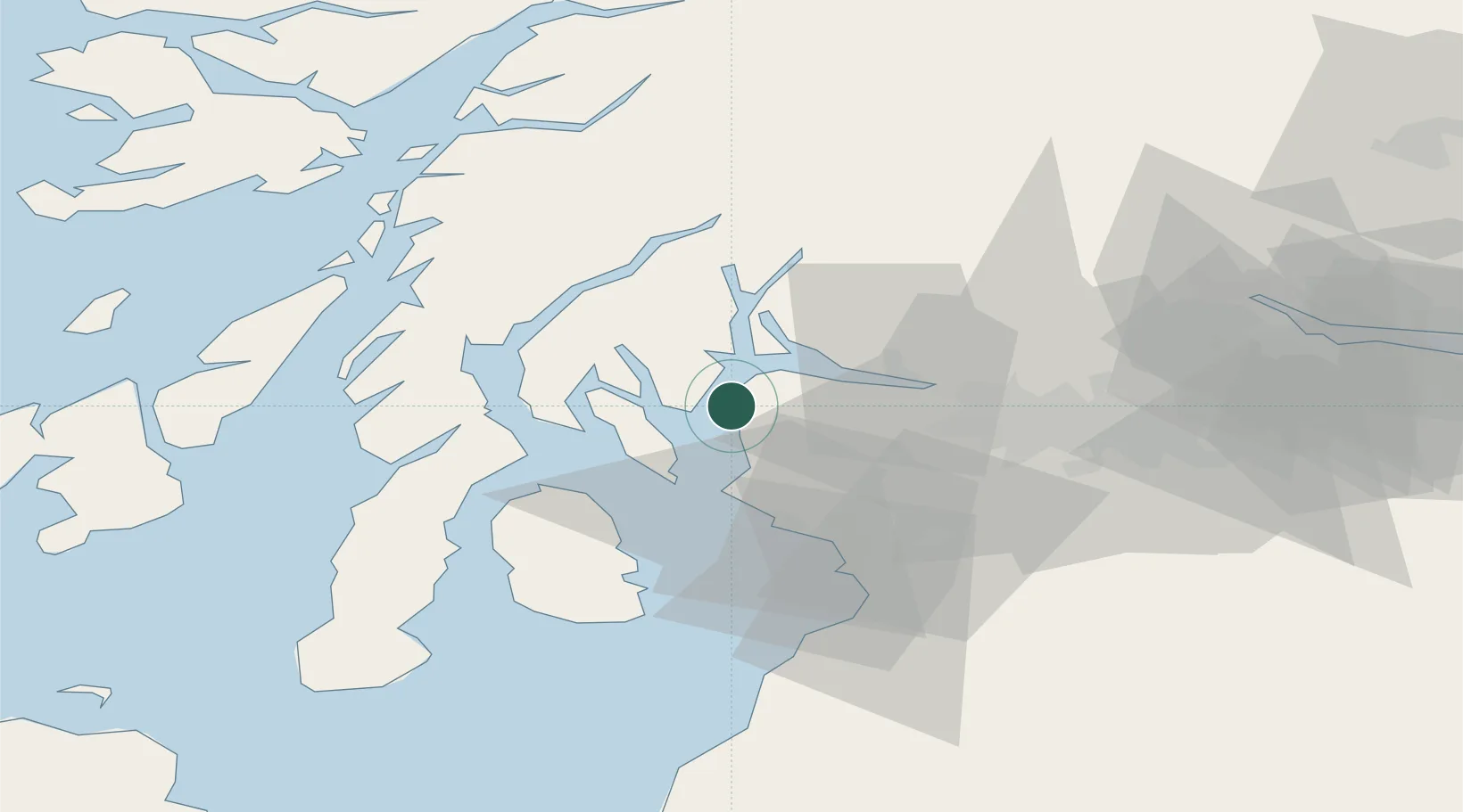
Wemyss Bay
55.8833°, -4.9000°
2,580
Population
1
Transport functions
Transport Functions
Port
Hub Profile
Place type
Populated place
Region
Scotland
Population
2,580
Time zone
Europe/London
Elevation
10 m
Location
Nearby Logistics Neighbours
Ports
- 1Largs10 km
- 2Rothesay Harbor11 km
- 3Greenock12 km
- 4Millport15 km
- 5Hunterston15 km
Airports
- 1Glasgow Airport29 km
- 2Glasgow Prestwick Airport47 km
- 3Campbeltown Airport70 km
- 4Oban Airport72 km
- 5Colonsay Airstrip86 km
Trade Zones
DatabookThe Record of Consolidated Knowledge
United Kingdom beyond logistics?