UN/LOCODE hub · United Kingdom
GBDYN

Ardyne

55.8667°, -5.0333°
1
Transport functions

Transport Functions

Port
UN/LOCODE

Hub Profile

Region
AGB
GeoNames

Location

Location of GBDYN
Natural Earth 10m (public domain) · AGB · GBDYN · 55.87, -5.03GoogleOSMYandex

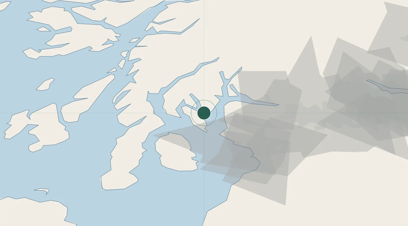
Nearby Logistics Neighbours

Cities
  1. 1Ardmaleish3 km
  2. 2Rothesay, Isle of Bute8 km
  3. 3Loch Striven8 km
  4. 4Colintraive8 km
  5. 5Rhubodach, Isle of Bute8 km
Nearest neighbours — logibook spatial index (haversine) over the source coordinates
Ports
  1. 1Rothesay Harbor4 km
  2. 2Largs13 km
  3. 3Millport15 km
  4. 4Hunterston16 km
  5. 5Greenock20 km
Nearest neighbours — logibook spatial index (haversine) over the source coordinates
Airports
  1. 1Glasgow Airport38 km
  2. 2Glasgow Prestwick Airport50 km
  3. 3Campbeltown Airport63 km
  4. 4Oban Airport70 km
  5. 5Colonsay Airstrip78 km
Nearest neighbours — logibook spatial index (haversine) over the source coordinates
Trade Zones
  1. 1Prestwick Airport Free Zone48 km
  2. 2Carlisle Kingmoor Park Enterprise Zone167 km
  3. 3Isle of Man Free Zone and Business Park199 km
  4. 4Blackpool Enterprise Zone266 km
  5. 5Hillhouse Enterprise Zone268 km
Nearest neighbours — logibook spatial index (haversine) over the source coordinates
DatabookThe Record of Consolidated Knowledge
United Kingdom beyond logistics?
Browse databook

All Sources

LocationsUN/LOCODE
UN/LOCODE — free
Portsthe NGA World Port Index
Public domain (US gov)
AirportsOurAirports
Public domain
Trade Zonesthe World Bank SEZ database
CC BY 4.0
Trade ZonesOpen Zone Map
CC BY
← United Kingdom locations