Seaport · United Kingdom
GreenockGBGRK
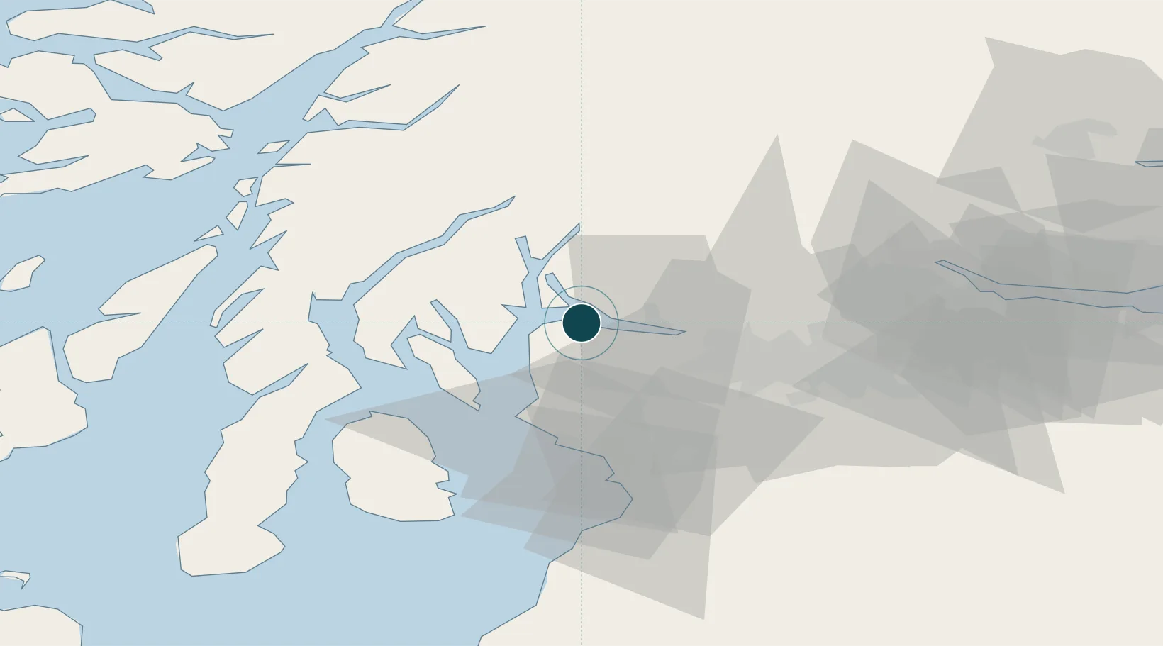
55.9500°, -4.7500°
9.4 m
Channel depth
1
Container terminals
37.0
Port liner connectivity
Channel & Berth Profile
Pilotage, Tugs & Services
Pilotage compulsoryYES
Pilotage availableYES
Tug assistanceYES
Salvage tugsNO
Potable waterYES
Diesel bunkersYES
MedicalYES
Garbage disposalYES
Facilities & Capabilities
Container—
Ro-Ro—
Liquid bulk—
Dry bulk—
Oil terminal—
Break bulk—
Dry dockNO
RepairsNO
BunkeringYES
Rail linkYES
Dangerous cargo—
ISPS security—
Harbour Specifications
Harbour size
Medium
Harbour type
Coastal (Natural)
Shelter
Fair
Water body
North Atlantic Ocean
Tidal range
3 m
Overhead limit
Yes
Pilotage
Yes
Liner Connectivity
37
PLSCI
Port Liner Shipping Connectivity Index for Greenock, as published by UNCTAD for the latest available quarter. Higher values indicate stronger scheduled liner-shipping integration.
Shown relative to the highest per-port PLSCI in the dataset (1,657.9).
Location
Container Terminals · 1
CLYDEPORT CONTAINER TERMINAL
CLYDE PEEL PORTS CLYDEPORT CONTAINER TERMINAL
Nearby Logistics Neighbours
Ports
- 1Faslane13 km
- 2Bowling17 km
- 3Old Kilpatrick18 km
- 4Largs18 km
- 5Finnart Oil Terminal19 km
Cities
- 1Port Glasgow5 km
- 2Gourock5 km
- 3Helensburgh6 km
- 4Kilcreggan7 km
- 5Rhu8 km
Airports
- 1Glasgow Airport22 km
- 2Glasgow Prestwick Airport51 km
- 3Oban Airport70 km
- 4Campbeltown Airport82 km
- 5Edinburgh Airport86 km
Trade Zones
DatabookThe Record of Consolidated Knowledge
United Kingdom beyond logistics?