Transport Functions
Port
Road
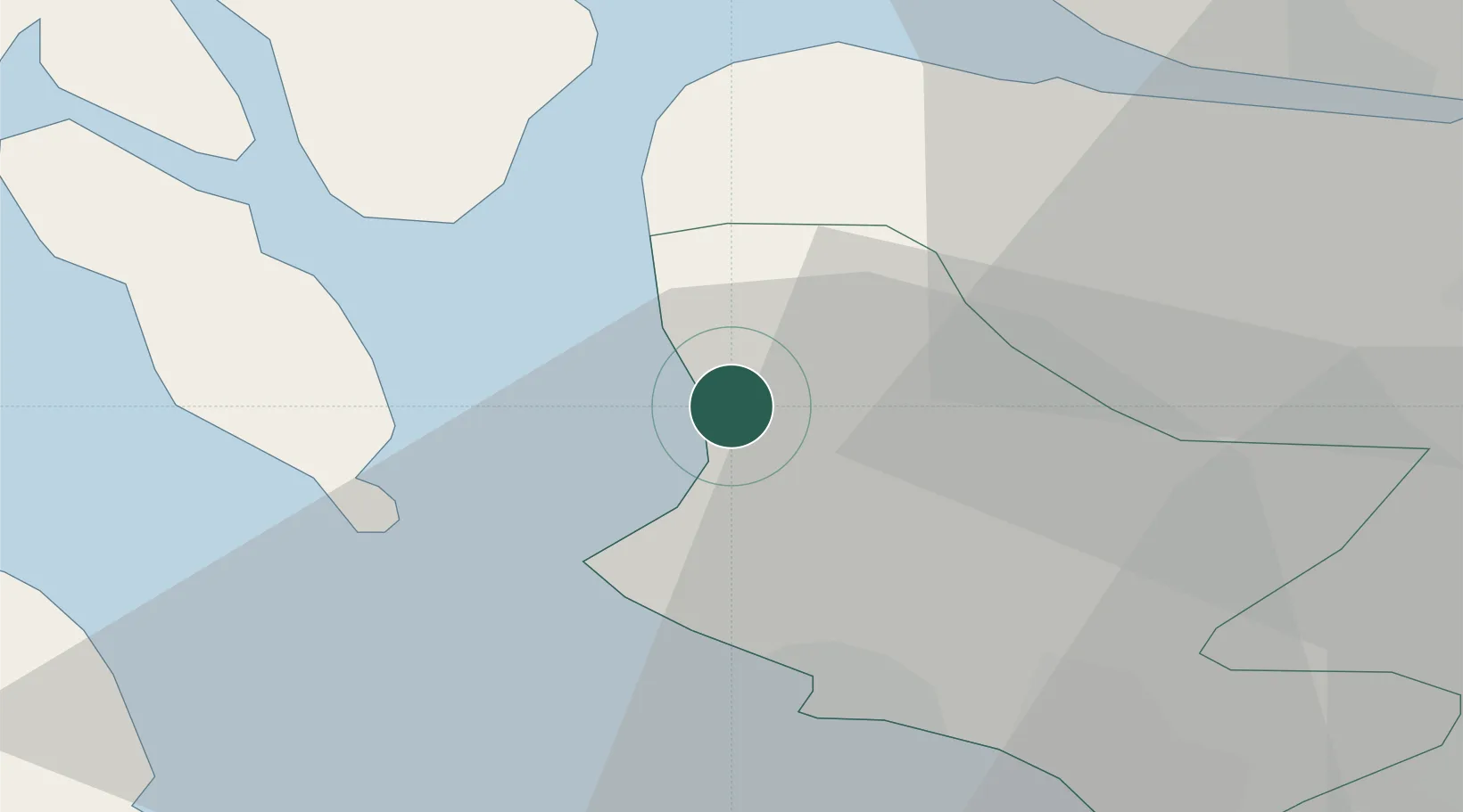
Hub Profile
Place type
Populated place
Region
Scotland
Population
11,340
Time zone
Europe/London
Elevation
13 m
Location
Nearby Logistics Neighbours
Cities
- 1Cumbrae Slip, Great Cumbrae3 km
- 2Fairlie4 km
- 3Cumbraes7 km
- 4Millport, Great Cumbrae7 km
- 5Hunterston8 km
Ports
- 1Hunterston4 km
- 2Millport6 km
- 3Rothesay Harbor14 km
- 4Ardrossan15 km
- 5Greenock20 km
Airports
- 1Glasgow Airport28 km
- 2Glasgow Prestwick Airport36 km
- 3Campbeltown Airport65 km
- 4Oban Airport83 km
- 5Islay Airport89 km
Trade Zones
DatabookThe Record of Consolidated Knowledge
United Kingdom beyond logistics?