UN/LOCODE hub · United Kingdom
GBMLP
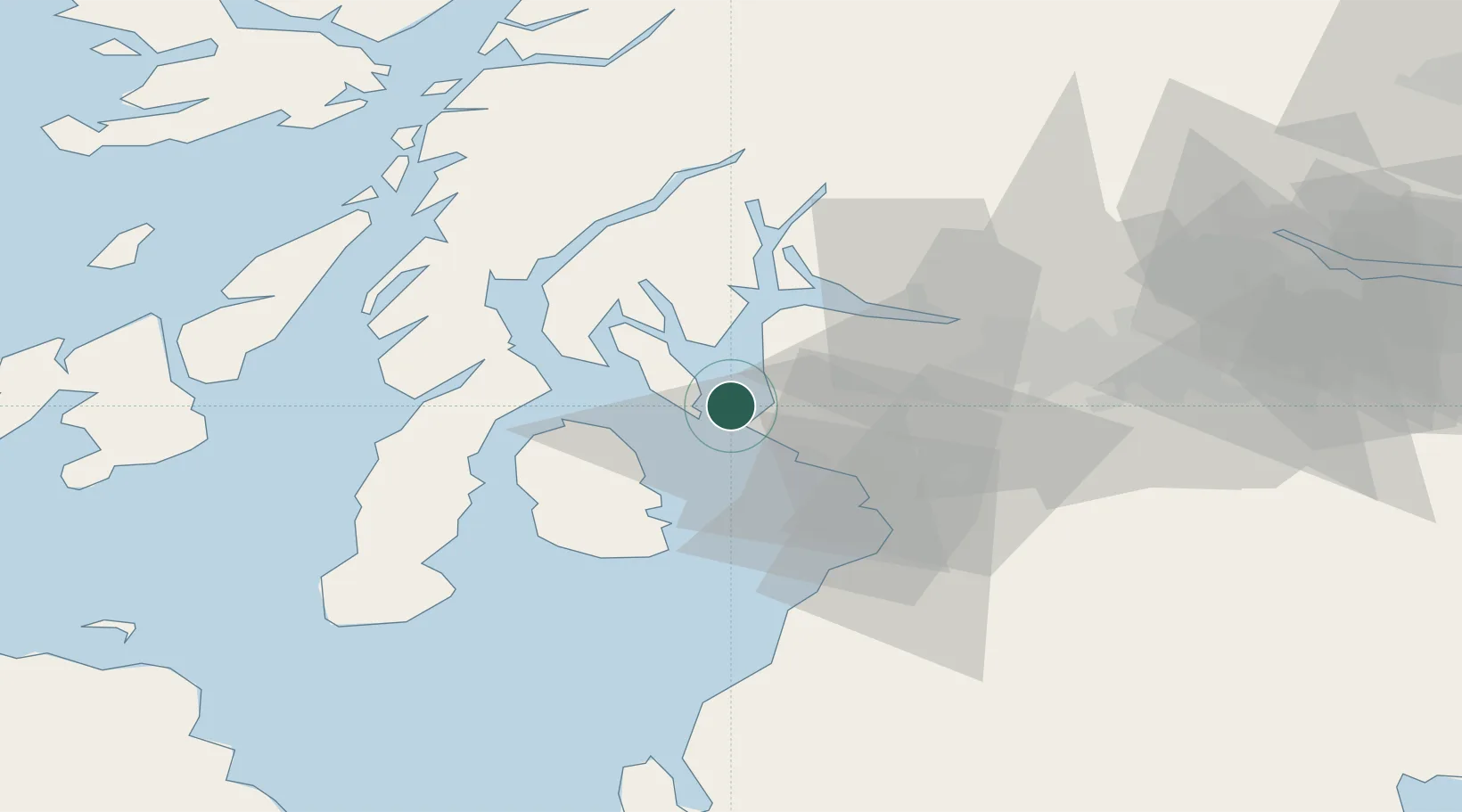
Millport, Great Cumbrae
55.7500°, -4.9500°
2
Transport functions
Transport Functions
Port
Road
Hub Profile
Region
NAY
Location
Nearby Logistics Neighbours
Cities
- 1Cumbraes3 km
- 2Cumbrae Slip, Great Cumbrae5 km
- 3Hunterston6 km
- 4Fairlie6 km
- 5Largs7 km
Ports
- 1Hunterston4 km
- 2Largs8 km
- 3Rothesay Harbor11 km
- 4Ardrossan14 km
- 5Greenock26 km
Airports
- 1Glasgow Airport35 km
- 2Glasgow Prestwick Airport36 km
- 3Campbeltown Airport58 km
- 4Islay Airport82 km
- 5Oban Airport84 km
Trade Zones
DatabookThe Record of Consolidated Knowledge
United Kingdom beyond logistics?