UN/LOCODE hub · United Kingdom
GBHST

Hunterston

55.7167°, -4.8833°
1
Transport functions

Transport Functions

Port
Hunterston is also a profiled seaport →
UN/LOCODE

Hub Profile

Region
NAY
GeoNames

Location

Location of GBHST
Natural Earth 10m (public domain) · NAY · GBHST · 55.72, -4.88GoogleOSMYandex

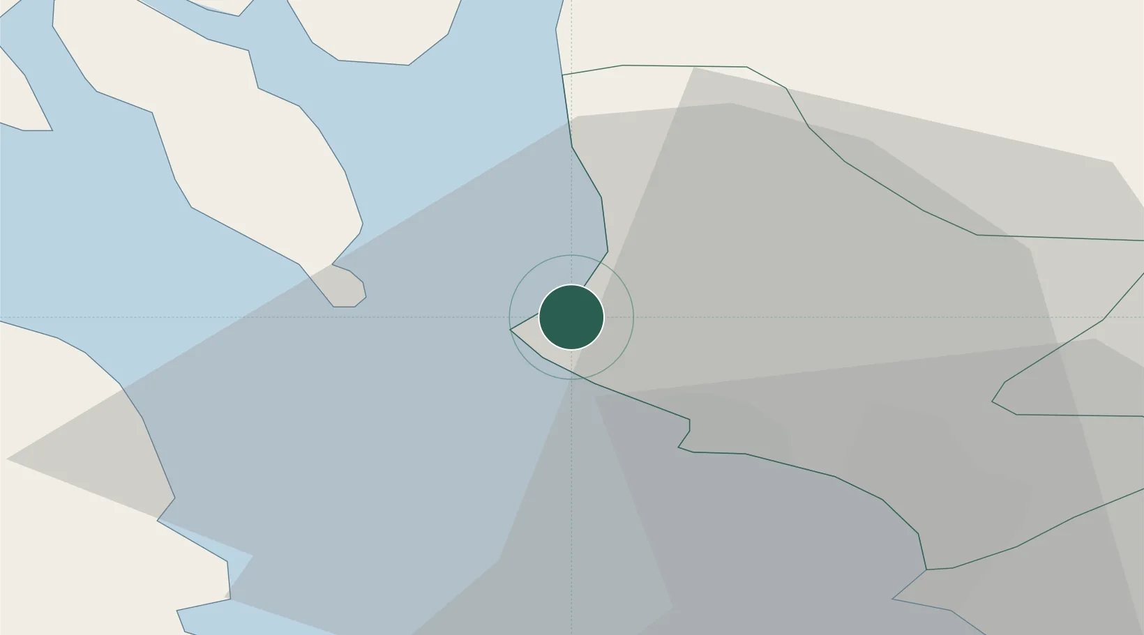
Nearby Logistics Neighbours

Cities
  1. 1Cumbraes3 km
  2. 2Fairlie4 km
  3. 3Millport, Great Cumbrae6 km
  4. 4Cumbrae Slip, Great Cumbrae8 km
  5. 5Largs8 km
Nearest neighbours — logibook spatial index (haversine) over the source coordinates
Ports
  1. 1Millport4 km
  2. 2Ardrossan9 km
  3. 3Largs9 km
  4. 4Rothesay Harbor17 km
  5. 5Troon22 km
Nearest neighbours — logibook spatial index (haversine) over the source coordinates
Airports
  1. 1Glasgow Prestwick Airport31 km
  2. 2Glasgow Airport33 km
  3. 3Campbeltown Airport59 km
  4. 4Islay Airport86 km
  5. 5Oban Airport89 km
Nearest neighbours — logibook spatial index (haversine) over the source coordinates
Trade Zones
  1. 1Prestwick Airport Free Zone29 km
  2. 2Carlisle Kingmoor Park Enterprise Zone149 km
  3. 3Isle of Man Free Zone and Business Park181 km
  4. 4Blackpool Enterprise Zone247 km
  5. 5Hillhouse Enterprise Zone248 km
Nearest neighbours — logibook spatial index (haversine) over the source coordinates
DatabookThe Record of Consolidated Knowledge
United Kingdom beyond logistics?
Browse databook

All Sources

LocationsUN/LOCODE
UN/LOCODE — free
Portsthe NGA World Port Index
Public domain (US gov)
AirportsOurAirports
Public domain
Trade Zonesthe World Bank SEZ database
CC BY 4.0
Trade ZonesOpen Zone Map
CC BY
← United Kingdom locations