Transport Functions
Port
Rail
Road
Hub Profile
Place type
Populated place
Region
Scotland
Population
1,440
Time zone
Europe/London
Elevation
6 m
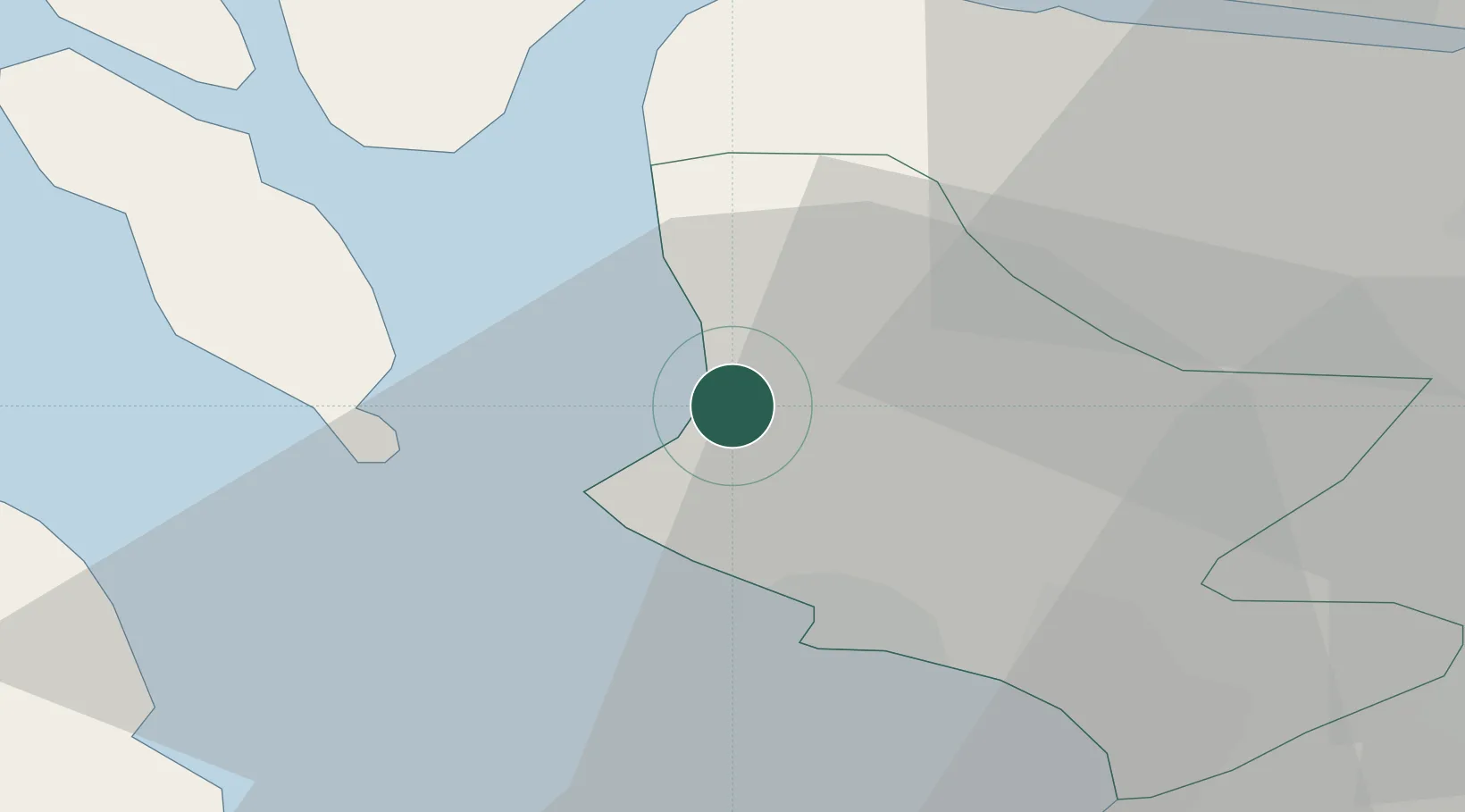
Location
Nearby Logistics Neighbours
Cities
- 1Largs4 km
- 2Hunterston4 km
- 3Cumbraes5 km
- 4Cumbrae Slip, Great Cumbrae5 km
- 5Millport, Great Cumbrae6 km
Ports
- 1Hunterston2 km
- 2Millport4 km
- 3Largs6 km
- 4Ardrossan11 km
- 5Rothesay Harbor16 km
Airports
- 1Glasgow Airport29 km
- 2Glasgow Prestwick Airport33 km
- 3Campbeltown Airport63 km
- 4Oban Airport86 km
- 5Islay Airport89 km
Trade Zones
DatabookThe Record of Consolidated Knowledge
United Kingdom beyond logistics?