Channel & Berth Profile
Pilotage, Tugs & Services
Pilotage compulsoryYES
Pilotage availableYES
Pilotage advisableYES
Tug assistanceYES
Shore powerNO
Potable waterYES
Diesel bunkersYES
MedicalYES
Garbage disposalYES
Facilities & Capabilities
Container—
Ro-Ro—
Liquid bulk—
Dry bulk—
Oil terminal—
Break bulk—
Dry dock—
RepairsNO
BunkeringYES
Rail linkYES
Dangerous cargo—
ISPS security—
Harbour Specifications
Harbour size
Small
Harbour type
Coastal (Breakwater)
Shelter
Excellent
Water body
Mediterranean Sea; North Atlantic Ocean
Tidal range
2 m
Overhead limit
No
Pilotage
Yes
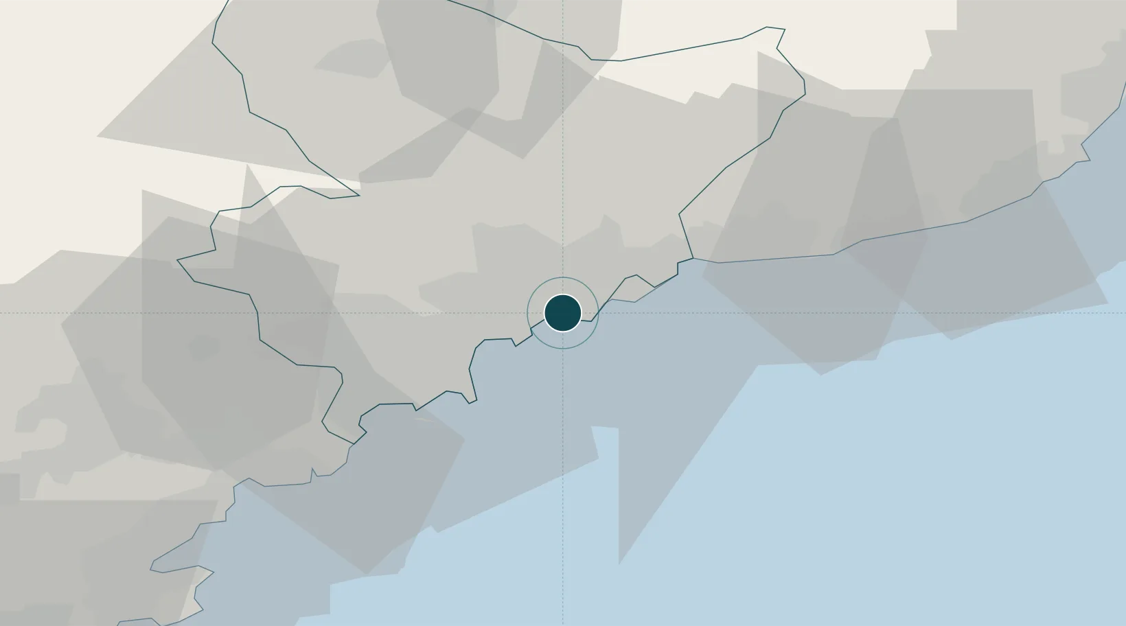
Location
Nearby Logistics Neighbours
Ports
- 1Villefranche3 km
- 2Monaco11 km
- 3Antibes18 km
- 4Cannes27 km
- 5San Remo42 km
Cities
- 1Villefranche-sur-Mer3 km
- 2Saint-André-de-la-Roche4 km
- 3Colomars9 km
- 4Tourrette-Levens9 km
- 5Monte-Carlo11 km
Airports
Trade Zones
- 1ZFU LAriane5 km
- 2ZFU Toulon126 km
- 3ZFU La Seyne-sur-Mer135 km
- 4ZFU Marseille 15e et 16e160 km
- 5ZFU Saint-Barthélémy, Le Canet, Delorme-Paternelle171 km
DatabookThe Record of Consolidated Knowledge
France beyond logistics?