UN/LOCODE hub · France
FR4S4

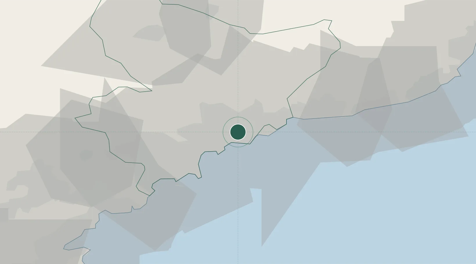
Saint-André-de-la-Roche

43.7333°, 7.2833°
4,336
Population
2
Transport functions

Transport Functions

Port
Multimodal
UN/LOCODE

Hub Profile

Place type
Populated place
GeoNames
Region
Provence-Alpes-Côte d'Azur
GeoNames
Population
4,336
GeoNames
Time zone
Europe/Paris
GeoNames
Elevation
97 m
GeoNames

Location

Location of FR4S4
Natural Earth 10m (public domain) · Provence-Alpes-Côte d'Azur · FR4S4 · 43.73, 7.28GoogleOSMYandex

Nearby Logistics Neighbours

Cities
  1. 1Nice4 km
  2. 2Villefranche-sur-Mer5 km
  3. 3Tourrette-Levens6 km
  4. 4Colomars7 km
  5. 5Monte-Carlo11 km
Nearest neighbours — logibook spatial index (haversine) over the source coordinates
Ports
  1. 1Nice4 km
  2. 2Villefranche5 km
  3. 3Monaco11 km
  4. 4Antibes21 km
  5. 5Cannes30 km
Nearest neighbours — logibook spatial index (haversine) over the source coordinates
Airports
  1. 1Nice-Côte d'Azur Airport10 km
  2. 2Monaco Heliport11 km
  3. 3Cannes Croisette Heliport30 km
  4. 4Cannes Mandelieu Airport34 km
  5. 5Riviera Villanova d'Albenga International Airport76 km
Nearest neighbours — logibook spatial index (haversine) over the source coordinates
Trade Zones
  1. 1ZFU LAriane1 km
  2. 2ZFU Toulon128 km
  3. 3ZFU La Seyne-sur-Mer137 km
  4. 4ZFU Marseille 15e et 16e161 km
  5. 5ZFU Saint-Barthélémy, Le Canet, Delorme-Paternelle172 km
Nearest neighbours — logibook spatial index (haversine) over the source coordinates
DatabookThe Record of Consolidated Knowledge
France beyond logistics?
Browse databook

All Sources

LocationsUN/LOCODE
UN/LOCODE — free
LocationsGeoNames
CC BY 4.0
Portsthe NGA World Port Index
Public domain (US gov)
AirportsOurAirports
Public domain
Trade Zonesthe World Bank SEZ database
CC BY 4.0
Trade ZonesOpen Zone Map
CC BY
← France locations