Economic Revitalization Project · France

ZFU Saint-Barthélémy, Le Canet, Delorme-Paternelle Active
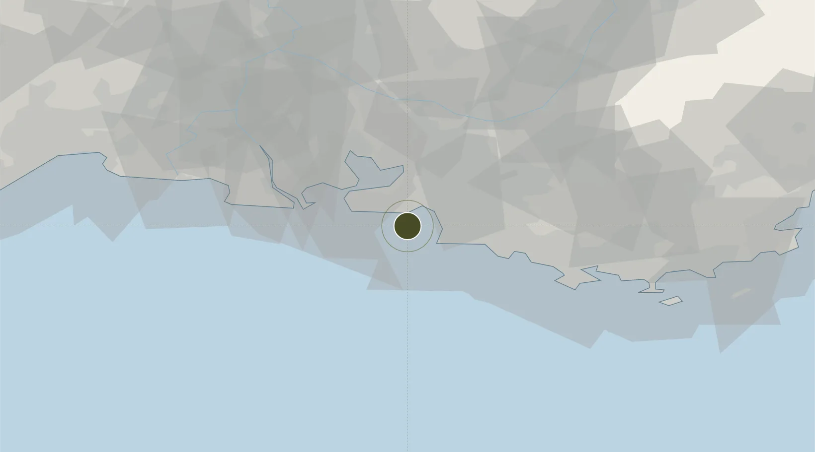
43.2803°, 5.2401°
442 ha
Zone area
11.0 km
Nearest port
17.7 km
Nearest airport

Gateway access

Nearest neighbours — logibook spatial index (haversine) over the source coordinates

Zone profile

Zone type
Economic Revitalization Project
Open Zone Map
Region
Bouches-du-Rhône
Open Zone Map
Status
Active
Open Zone Map
Management
Public
Open Zone Map
Operator
Ville de Marseille
Open Zone Map
Legal framework
Décret no 65-939 du 8 novembre 1965, Décret du 9 Octobre 2008
Open Zone Map

Location

Location of ozm-2018
Natural Earth 10m (public domain) · Bouches-du-Rhône · ozm-2018 · 43.28, 5.24GoogleOSMYandex

Nearby Logistics Neighbours

Ports
  1. 1Marseille11 km
  2. 2Port-de-Bouc25 km
  3. 3Fos33 km
  4. 4Port Saint Louis Du Rhone36 km
  5. 5Toulon58 km
Nearest neighbours — logibook spatial index (haversine) over the source coordinates
Airports
  1. 1Marseille Provence Airport18 km
  2. 2Istres-Le Tubé Air Base37 km
  3. 3Salon-de-Provence (BA 701) Air Base38 km
  4. 4Le Castellet Airport44 km
  5. 5Avignon Caumont airport75 km
Nearest neighbours — logibook spatial index (haversine) over the source coordinates
Cities
  1. 1Marseille11 km
  2. 2Le Rove11 km
  3. 3Sausset-les-Pins12 km
  4. 4Gignac-la-Nerthe13 km
  5. 5la Mède17 km
Nearest neighbours — logibook spatial index (haversine) over the source coordinates
Trade Zones
  1. 1ZFU Marseille 15e et 16e12 km
  2. 2ZFU La Seyne-sur-Mer54 km
  3. 3ZFU Toulon59 km
  4. 4ZFU Avignon82 km
  5. 5ZFU Nîmes94 km
Nearest neighbours — logibook spatial index (haversine) over the source coordinates
DatabookThe Record of Consolidated Knowledge
France beyond logistics?
Browse databook

All Sources

Trade ZonesOpen Zone Map
CC BY
Portsthe NGA World Port Index
Public domain (US gov)
AirportsOurAirports
Public domain
LocationsUN/LOCODE
UN/LOCODE — free
← France trade zones