Transport Functions
Port
Airport
Hub Profile
Place type
Urban district
Region
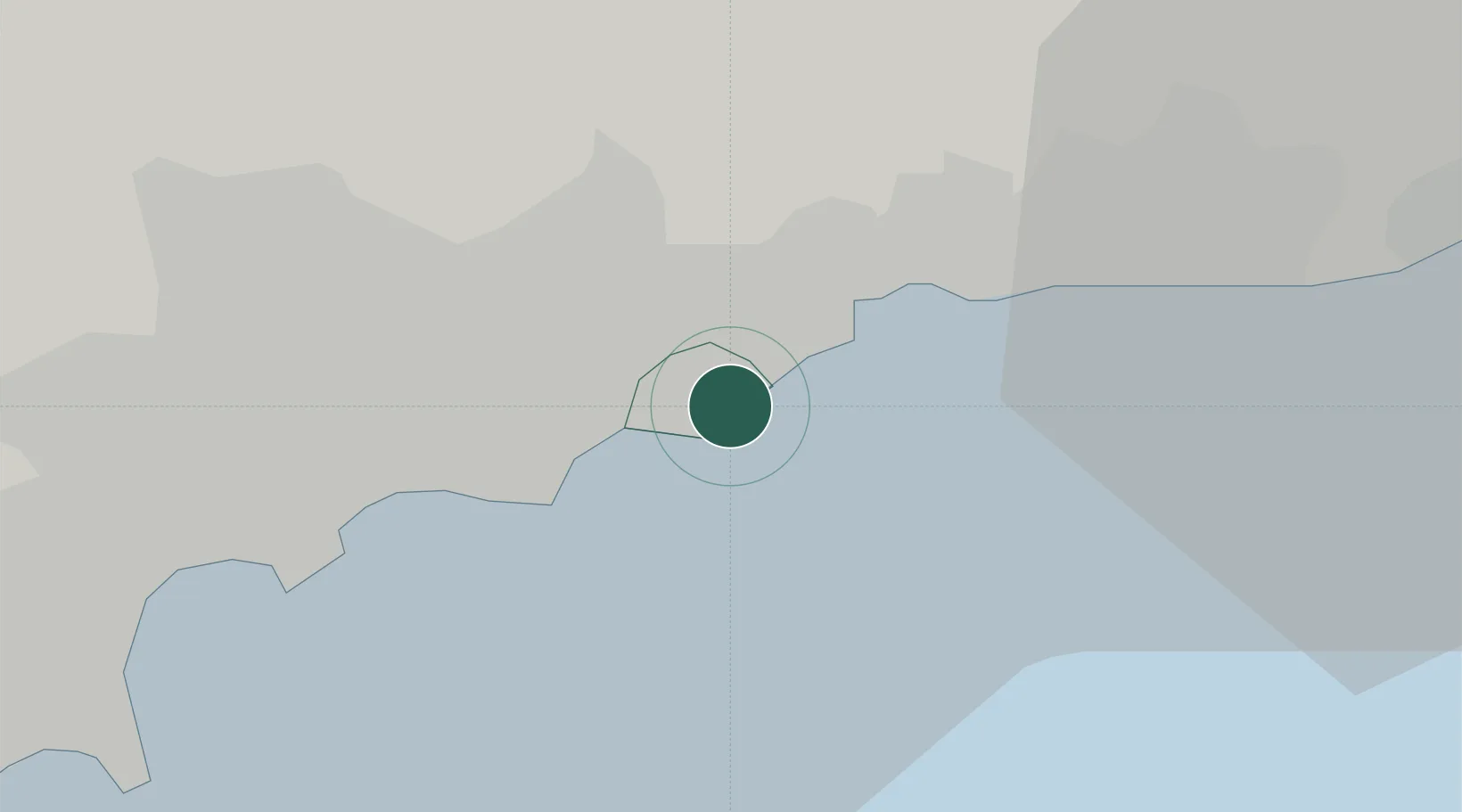
Municipality of Monaco
Population
16,012
Time zone
Europe/Monaco
Elevation
45 m
Location
Nearby Logistics Neighbours
Cities
- 1Roquebrune-Cap-Martin4 km
- 2Gorbio6 km
- 3Villefranche-sur-Mer9 km
- 4Saint-André-de-la-Roche11 km
- 5Tourrette-Levens12 km
Ports
- 1Monaco0 km
- 2Villefranche9 km
- 3Nice11 km
- 4Antibes28 km
- 5San Remo31 km
Airports
Trade Zones
- 1ZFU LAriane11 km
- 2ZFU Toulon137 km
- 3ZFU La Seyne-sur-Mer146 km
- 4ZFU Marseille 15e et 16e171 km
- 5ZFU Saint-Barthélémy, Le Canet, Delorme-Paternelle183 km
DatabookThe Record of Consolidated Knowledge
Monaco beyond logistics?