Medium airport · Italy

Riviera Villanova d'Albenga International AirportLIMG
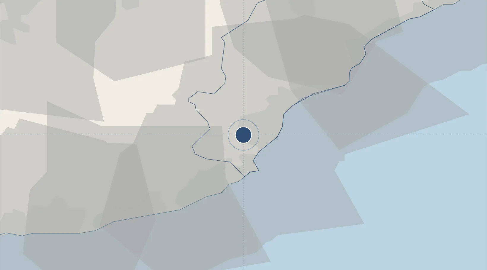
44.0506°, 8.1274°
4,698 ft
Longest runway
1
Runways
148 ft
Elevation

Runway & Layout

Riviera Villanova d'Albenga International Airport runway & taxiway layout
Runway & taxiway layout — OpenStreetMap (ODbL) / OurAirports

Radio Frequencies

AFIS
123.85 MHz
INFO
OurAirports

Navaids

ABN NDB Albenga 420 kHz
ALB VOR-DME Albenga 116.95 MHz
OurAirports

Runways · 1

RunwayDimensions SurfaceTrue headingLit
09/27 4,698 × 148ft Asphalt 094°
OurAirports

Airport Specifications

ICAO code
LIMG
OurAirports
Airport class
Medium airport
OurAirports
Scheduled service
No
OurAirports
Runway surface
Asphalt
OurAirports
Served city
Villanova d'Albenga (SV)
OurAirports

Location

Location of LIMG
Natural Earth 10m (public domain) · Savona · LIMG · 44.05, 8.13GoogleOSMYandex

Nearby Logistics Neighbours

Airports
  1. 1Monaco Heliport67 km
  2. 2Cuneo International Airport68 km
  3. 3Genoa Cristoforo Colombo Airport70 km
  4. 4Nice-Côte d'Azur Airport85 km
  5. 5Novi Ligure Eugenio Mossi Airfield97 km
Nearest neighbours — logibook spatial index (haversine) over the source coordinates
Cities
  1. 1Villanova d'Albenga1 km
  2. 2Leca3 km
  3. 3Alassio6 km
  4. 4Andora11 km
  5. 5Loano13 km
Nearest neighbours — logibook spatial index (haversine) over the source coordinates
Ports
  1. 1Imperia20 km
  2. 2Rada Di Vado35 km
  3. 3San Remo38 km
  4. 4Savona42 km
  5. 5Monaco67 km
Nearest neighbours — logibook spatial index (haversine) over the source coordinates
Trade Zones
  1. 1ZFU LAriane76 km
  2. 2ZFU Toulon204 km
  3. 3Magazzini Generali Con Chiasso210 km
  4. 4ZFU La Seyne-sur-Mer213 km
  5. 5Aosta Valley213 km
Nearest neighbours — logibook spatial index (haversine) over the source coordinates
DatabookThe Record of Consolidated Knowledge
Italy beyond logistics?
Browse databook

All Sources

AirportsOurAirports
Public domain
Portsthe NGA World Port Index
Public domain (US gov)
LocationsUN/LOCODE
UN/LOCODE — free
Trade Zonesthe World Bank SEZ database
CC BY 4.0
Trade ZonesOpen Zone Map
CC BY
InfrastructureOpenStreetMap
ODbL 1.0
← Italy airports