Transport Functions
Port
Rail
Airport
Postal
Hub Profile
Place type
Provincial seat
Region
Provence-Alpes-Côte d'Azur
Population
342,669
Time zone
Europe/Paris
Elevation
25 m
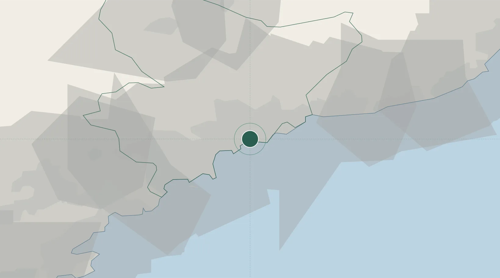
Location
Nearby Logistics Neighbours
Cities
- 1Saint-André-de-la-Roche4 km
- 2Villefranche-sur-Mer4 km
- 3Colomars8 km
- 4Tourrette-Levens9 km
- 5Saint-Paul12 km
Ports
- 1Villefranche4 km
- 2Monaco13 km
- 3Antibes17 km
- 4Cannes26 km
- 5San Remo44 km
Airports
- 1Nice-Côte d'Azur Airport6 km
- 2Monaco Heliport13 km
- 3Cannes Croisette Heliport26 km
- 4Cannes Mandelieu Airport30 km
- 5Le Luc-Le Cannet Airfield79 km
Trade Zones
- 1ZFU LAriane5 km
- 2ZFU Toulon125 km
- 3ZFU La Seyne-sur-Mer134 km
- 4ZFU Marseille 15e et 16e159 km
- 5ZFU Saint-Barthélémy, Le Canet, Delorme-Paternelle170 km
DatabookThe Record of Consolidated Knowledge
France beyond logistics?