UN/LOCODE hub · France
FRFCM

Colomars

43.7667°, 7.2167°
3,185
Population
1
Transport functions

Transport Functions

Multimodal
UN/LOCODE

Hub Profile

Place type
Populated place
GeoNames
Region
Provence-Alpes-Côte d'Azur
GeoNames
Population
3,185
GeoNames
Time zone
Europe/Paris
GeoNames
Elevation
319 m
GeoNames

Location

Location of FRFCM
Natural Earth 10m (public domain) · Provence-Alpes-Côte d'Azur · FRFCM · 43.77, 7.22GoogleOSMYandex

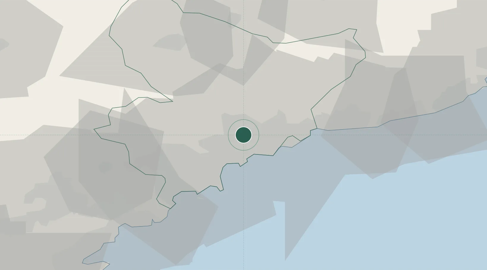
Nearby Logistics Neighbours

Cities
  1. 1Tourrette-Levens6 km
  2. 2Saint-André-de-la-Roche7 km
  3. 3Nice8 km
  4. 4Gilette10 km
  5. 5Villefranche-sur-Mer11 km
Nearest neighbours — logibook spatial index (haversine) over the source coordinates
Ports
  1. 1Nice9 km
  2. 2Villefranche11 km
  3. 3Monaco17 km
  4. 4Antibes22 km
  5. 5Cannes29 km
Nearest neighbours — logibook spatial index (haversine) over the source coordinates
Airports
  1. 1Nice-Côte d'Azur Airport12 km
  2. 2Monaco Heliport17 km
  3. 3Cannes Croisette Heliport30 km
  4. 4Cannes Mandelieu Airport32 km
  5. 5Le Luc-Le Cannet Airfield79 km
Nearest neighbours — logibook spatial index (haversine) over the source coordinates
Trade Zones
  1. 1ZFU LAriane6 km
  2. 2ZFU Toulon126 km
  3. 3ZFU La Seyne-sur-Mer134 km
  4. 4ZFU Marseille 15e et 16e157 km
  5. 5ZFU Saint-Barthélémy, Le Canet, Delorme-Paternelle168 km
Nearest neighbours — logibook spatial index (haversine) over the source coordinates
DatabookThe Record of Consolidated Knowledge
France beyond logistics?
Browse databook

All Sources

LocationsUN/LOCODE
UN/LOCODE — free
LocationsGeoNames
CC BY 4.0
Portsthe NGA World Port Index
Public domain (US gov)
AirportsOurAirports
Public domain
Trade Zonesthe World Bank SEZ database
CC BY 4.0
Trade ZonesOpen Zone Map
CC BY
← France locations