Large airport · France
Nice-Côte d'Azur AirportLFMN
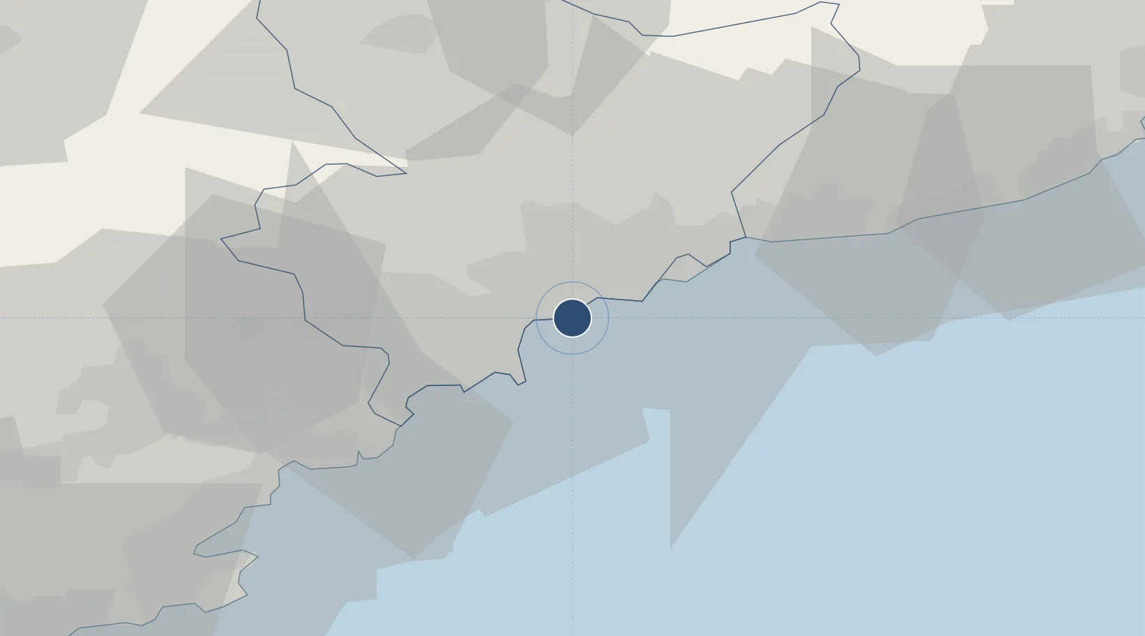
43.6584°, 7.2159°
9,721 ft
Longest runway
2
Runways
12 ft
Elevation
Runway & Layout

Radio Frequencies
ATIS
129.6 MHz
NICE ATIS
TWR
118.7 MHz
NICE TWR
GND
121.775 MHz
NICE GND
A/D
124.175 MHz
NICE APP
Navaids
AZR VOR-DME Nice Cote D Azur 109.65 MHz
CGS VOR-DME Cagnes Sur Mer 109.20 MHz
LEZ NDB Nice 399 kHz
NIZ VOR-DME Nice 112.40 MHz
Runways · 2
| Runway | Dimensions | Surface | True heading | Lit |
|---|---|---|---|---|
| 04R/22L | 9,721 × 148ft | Asphalt | 045° | ✓ |
| 04L/22R | 8,622 × 148ft | Asphalt | 045° | ✓ |
Airport Specifications
IATA code
NCE
ICAO code
LFMN
Airport class
Large airport
Scheduled service
Yes
Runway surface
Asphalt
Served city
Nice, Alpes-Maritimes
Location
Nearby Logistics Neighbours
Airports
- 1Monaco Heliport18 km
- 2Cannes Croisette Heliport20 km
- 3Cannes Mandelieu Airport24 km
- 4Le Luc-Le Cannet Airfield73 km
- 5La Môle Airport78 km
Cities
- 1Nice6 km
- 2Saint-Paul9 km
- 3Villefranche-sur-Mer9 km
- 4Saint-André-de-la-Roche10 km
- 5Antibes12 km
Ports
- 1Nice7 km
- 2Villefranche9 km
- 3Antibes11 km
- 4Monaco18 km
- 5Cannes20 km
Trade Zones
- 1ZFU LAriane11 km
- 2ZFU Toulon119 km
- 3ZFU La Seyne-sur-Mer128 km
- 4ZFU Marseille 15e et 16e154 km
- 5ZFU Saint-Barthélémy, Le Canet, Delorme-Paternelle165 km
DatabookThe Record of Consolidated Knowledge
France beyond logistics?