Runway & Layout

Airport Specifications
Airport class
Heliport
Scheduled service
Yes
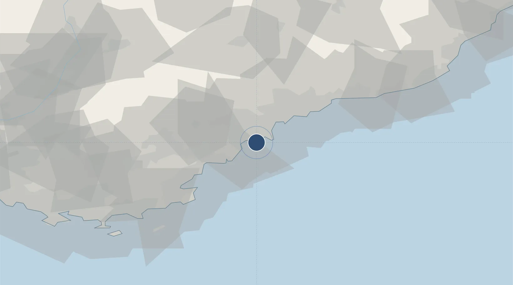
Served city
Cannes, Alpes-Maritimes
Location
Nearby Logistics Neighbours
Airports
- 1Cannes Mandelieu Airport7 km
- 2Nice-Côte d'Azur Airport20 km
- 3Monaco Heliport37 km
- 4Le Luc-Le Cannet Airfield55 km
- 5La Môle Airport58 km
Cities
- 1Cannes2 km
- 2Juan-les-Pins6 km
- 3Antibes8 km
- 4Grasse15 km
- 5Châteauneuf-Grasse16 km
Ports
- 1Cannes2 km
- 2Antibes9 km
- 3Saint-Raphael26 km
- 4Nice27 km
- 5Villefranche29 km
Trade Zones
- 1ZFU LAriane31 km
- 2ZFU Toulon100 km
- 3ZFU La Seyne-sur-Mer109 km
- 4ZFU Marseille 15e et 16e137 km
- 5ZFU Saint-Barthélémy, Le Canet, Delorme-Paternelle148 km
DatabookThe Record of Consolidated Knowledge
France beyond logistics?