Transport Functions
Multimodal
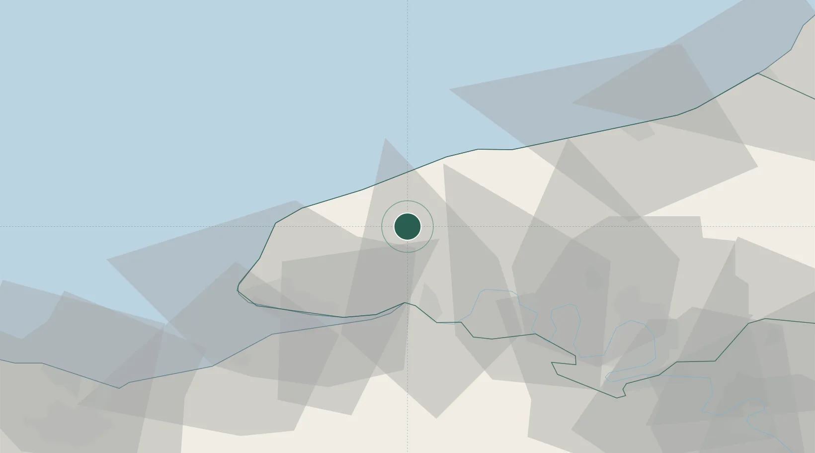
Hub Profile
Place type
Populated place
Region
Normandy
Population
348
Time zone
Europe/Paris
Elevation
127 m
Location
Nearby Logistics Neighbours
Cities
- 1Fécamp11 km
- 2Therouldeville12 km
- 3Saint-Léonard13 km
- 4Yport14 km
- 5Harcanville16 km
Ports
- 1Fecamp13 km
- 2Port Of Le Havre36 km
- 3Honfleur36 km
- 4Deauville46 km
- 5Port Of Rouen48 km
Airports
Trade Zones
- 1ZFU Le Havre34 km
- 2ZFU Rouen Bihorel49 km
- 3ZFU Hérouville-Saint-Clair81 km
- 4ZFU La Guérinière, La Grâce de Dieu86 km
- 5ZFU Évreux87 km
DatabookThe Record of Consolidated Knowledge
France beyond logistics?