Transport Functions
Port
Rail
Hub Profile
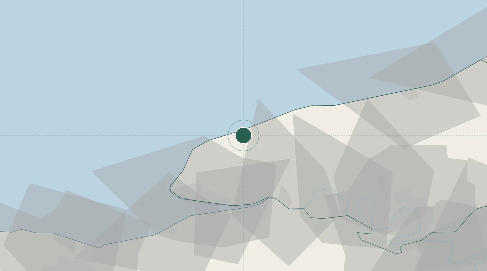
Place type
Populated place
Region
Normandy
Population
22,003
Time zone
Europe/Paris
Elevation
17 m
Location
Nearby Logistics Neighbours
Cities
- 1Saint-Léonard2 km
- 2Yport5 km
- 3Therouldeville6 km
- 4Limpiville11 km
- 5Etretat14 km
Ports
- 1Port Of Le Havre35 km
- 2Honfleur39 km
- 3Deauville48 km
- 4Dieppe54 km
- 5Port Of Rouen60 km
Airports
Trade Zones
- 1ZFU Le Havre33 km
- 2ZFU Rouen Bihorel60 km
- 3ZFU Hérouville-Saint-Clair81 km
- 4ZFU La Guérinière, La Grâce de Dieu85 km
- 5ZFU Évreux98 km
DatabookThe Record of Consolidated Knowledge
France beyond logistics?