Transport Functions
Multimodal
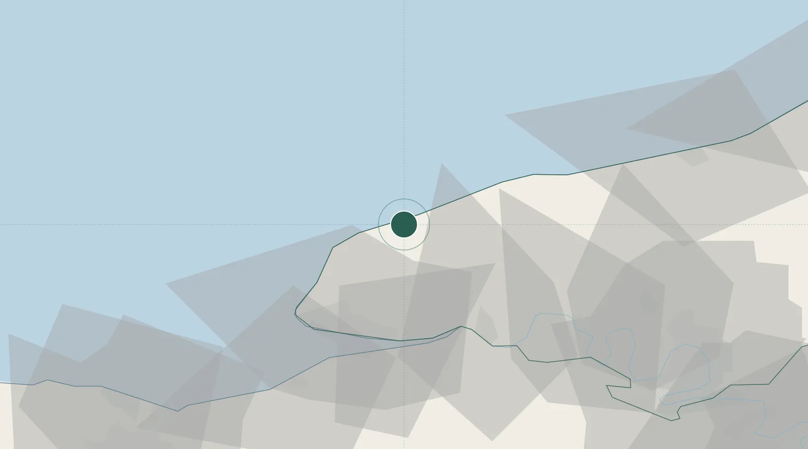
Hub Profile
Place type
Populated place
Region
Normandy
Population
1,738
Time zone
Europe/Paris
Elevation
97 m
Location
Nearby Logistics Neighbours
Cities
- 1Fécamp2 km
- 2Yport3 km
- 3Therouldeville8 km
- 4Etretat12 km
- 5Limpiville13 km
Ports
- 1Fecamp2 km
- 2Port Of Le Havre34 km
- 3Honfleur38 km
- 4Deauville47 km
- 5Dieppe56 km
Airports
Trade Zones
- 1ZFU Le Havre32 km
- 2ZFU Rouen Bihorel62 km
- 3ZFU Hérouville-Saint-Clair79 km
- 4ZFU La Guérinière, La Grâce de Dieu83 km
- 5ZFU Évreux99 km
DatabookThe Record of Consolidated Knowledge
France beyond logistics?