Runway & Layout

Airport Specifications
ICAO code
EKKU
Airport class
Heliport
Scheduled service
Yes
Served city
Kirkja
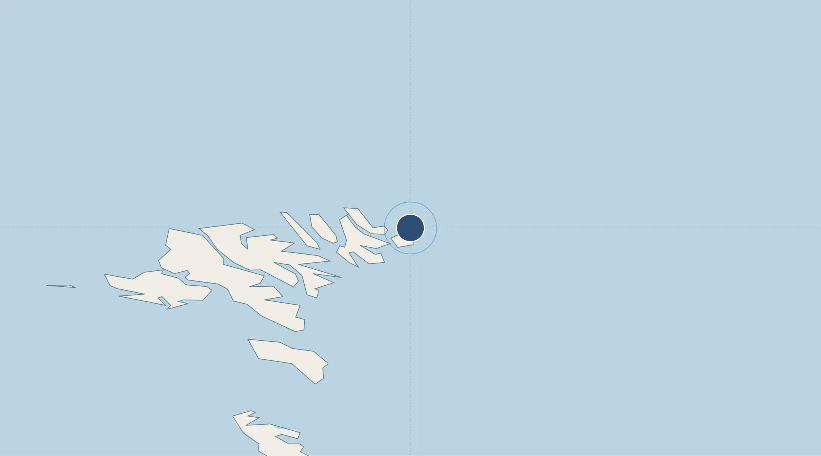
Location
Nearby Logistics Neighbours
Airports
- 1Hattarvík Heliport2 km
- 2Svínoy Heliport5 km
- 3Klaksvík Heliport18 km
- 4Boðanes Heliport40 km
- 5Koltur Heliport50 km
Ports
- 1Klaksvik17 km
- 2Fuglafjordur26 km
- 3Runavik31 km
- 4Torshavn42 km
- 5Vestmanna48 km
Trade Zones
DatabookThe Record of Consolidated Knowledge
Faroe Islands beyond logistics?