Medium airport · Finland
Ylivieska AirfieldEFYL
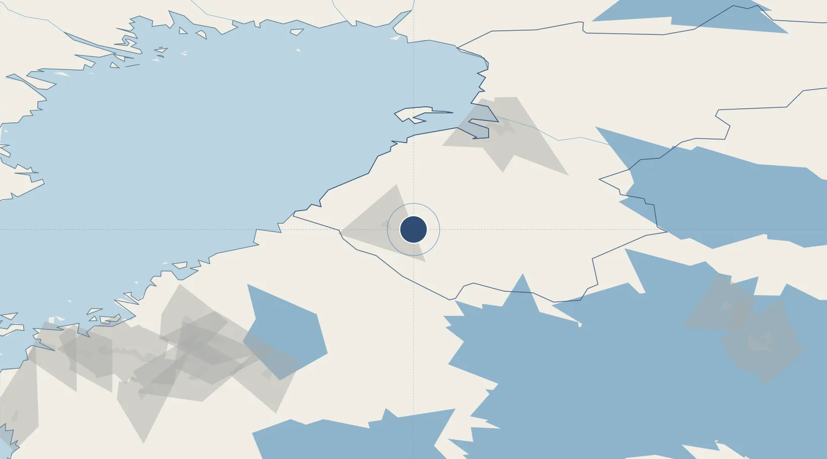
64.0547°, 24.7253°
4,921 ft
Longest runway
1
Runways
252 ft
Elevation
Runway & Layout

Radio Frequencies
UNIC
122.5 MHz
UNICOM
Runways · 1
| Runway | Dimensions | Surface | True heading | Lit |
|---|---|---|---|---|
| 15/33 | 4,921 × 98ft | Asphalt | 155° | ✓ |
Airport Specifications
IATA code
YLI
ICAO code
EFYL
Airport class
Medium airport
Scheduled service
No
Runway surface
Asphalt
Served city
Ylivieska
Location
Nearby Logistics Neighbours
Airports
- 1Kokkola-Pietarsaari Airport86 km
- 2Oulu Airport102 km
- 3Kauhava Airfield132 km
- 4Kajaani Airport146 km
- 5Seinäjoki Airport179 km
Cities
- 1Oulainen24 km
- 2Kalajoki43 km
- 3Parhalahti51 km
- 4Himankakylä51 km
- 5Himanka52 km
Ports
- 1Himanka53 km
- 2Rahja54 km
- 3Raahe72 km
- 4Kokkola87 km
- 5Pietarsaari109 km
Trade Zones
- 1Oulu Port Free Warehouse Area110 km
- 2Free Zone of Lappeenranta377 km
- 3Port of Hamina-Kotka415 km
- 4Turku Free Zone422 km
- 5Freeport of Hanko480 km
DatabookThe Record of Consolidated Knowledge
Finland beyond logistics?