UN/LOCODE hub · Finland
FIPRS

Jakobstad (Pietarsaari)

63.6833°, 22.7833°
3
Transport functions

Transport Functions

Port
Rail
Road
Jakobstad (Pietarsaari) is also a profiled seaport →
UN/LOCODE

Hub Profile

Region
12
GeoNames

Location

Location of FIPRS
Natural Earth 10m (public domain) · 12 · FIPRS · 63.68, 22.78GoogleOSMYandex

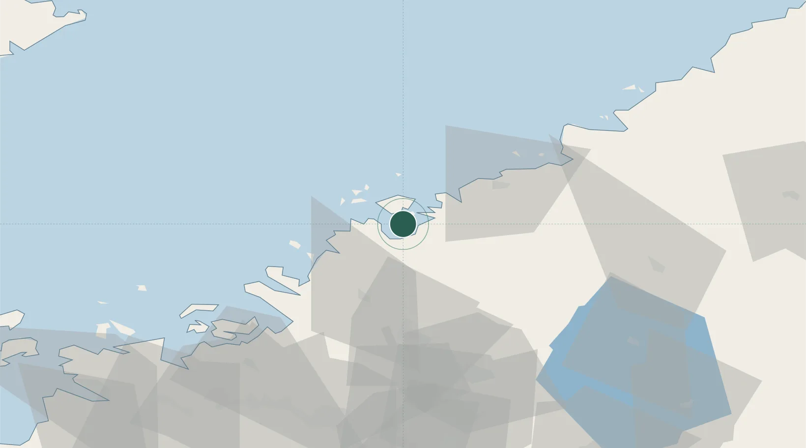
Nearby Logistics Neighbours

Cities
  1. 1Alholmen5 km
  2. 2Kållby (Kolppi)9 km
  3. 3Pännäinen9 km
  4. 4Yxpila21 km
  5. 5Nykarleby (Uusikaarlepyy)21 km
Nearest neighbours — logibook spatial index (haversine) over the source coordinates
Ports
  1. 1Kokkola22 km
  2. 2Nykarleby22 km
  3. 3Kantlax39 km
  4. 4Hellnas52 km
  5. 5Himanka55 km
Nearest neighbours — logibook spatial index (haversine) over the source coordinates
Airports
  1. 1Kokkola-Pietarsaari Airport18 km
  2. 2Kauhava Airfield63 km
  3. 3Vaasa Airport87 km
  4. 4Ylivieska Airfield104 km
  5. 5Seinäjoki Airport110 km
Nearest neighbours — logibook spatial index (haversine) over the source coordinates
Trade Zones
  1. 1Oulu Port Free Warehouse Area193 km
  2. 2Turku Free Zone361 km
  3. 3Free Zone of Lappeenranta402 km
  4. 4Port of Hamina-Kotka418 km
  5. 5Freeport of Hanko429 km
Nearest neighbours — logibook spatial index (haversine) over the source coordinates
DatabookThe Record of Consolidated Knowledge
Finland beyond logistics?
Browse databook

All Sources

LocationsUN/LOCODE
UN/LOCODE — free
Portsthe NGA World Port Index
Public domain (US gov)
AirportsOurAirports
Public domain
Trade Zonesthe World Bank SEZ database
CC BY 4.0
Trade ZonesOpen Zone Map
CC BY
← Finland locations