UN/LOCODE hub · Finland
FIKBY

Kållby (Kolppi)

63.6167°, 22.8667°
2
Transport functions

Transport Functions

Rail
Road
UN/LOCODE

Hub Profile

Region
12
GeoNames

Location

Location of FIKBY
Natural Earth 10m (public domain) · 12 · FIKBY · 63.62, 22.87GoogleOSMYandex

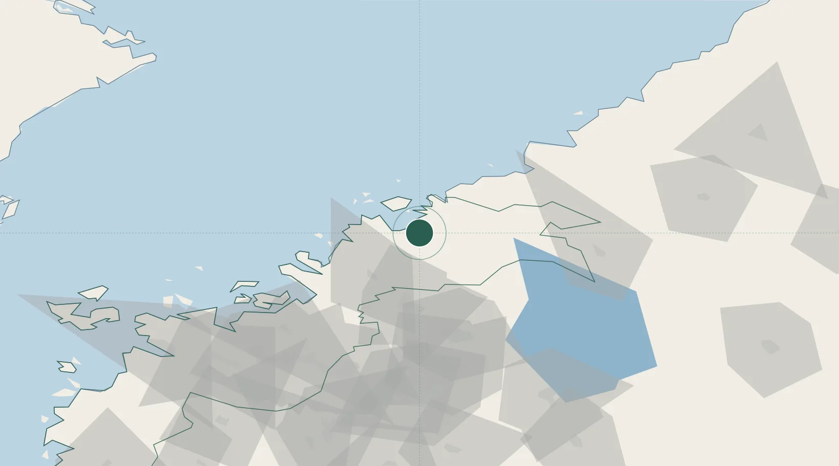
Nearby Logistics Neighbours

Cities
  1. 1Pännäinen4 km
  2. 2Jakobstad (Pietarsaari)9 km
  3. 3Alholmen12 km
  4. 4Nykarleby (Uusikaarlepyy)19 km
  5. 5Nedervetil25 km
Nearest neighbours — logibook spatial index (haversine) over the source coordinates
Ports
  1. 1Pietarsaari12 km
  2. 2Nykarleby20 km
  3. 3Kokkola27 km
  4. 4Kantlax37 km
  5. 5Hellnas49 km
Nearest neighbours — logibook spatial index (haversine) over the source coordinates
Airports
  1. 1Kokkola-Pietarsaari Airport18 km
  2. 2Kauhava Airfield55 km
  3. 3Vaasa Airport84 km
  4. 4Seinäjoki Airport103 km
  5. 5Ylivieska Airfield103 km
Nearest neighbours — logibook spatial index (haversine) over the source coordinates
Trade Zones
  1. 1Oulu Port Free Warehouse Area197 km
  2. 2Turku Free Zone354 km
  3. 3Free Zone of Lappeenranta394 km
  4. 4Port of Hamina-Kotka409 km
  5. 5Freeport of Hanko421 km
Nearest neighbours — logibook spatial index (haversine) over the source coordinates
DatabookThe Record of Consolidated Knowledge
Finland beyond logistics?
Browse databook

All Sources

LocationsUN/LOCODE
UN/LOCODE — free
Portsthe NGA World Port Index
Public domain (US gov)
AirportsOurAirports
Public domain
Trade Zonesthe World Bank SEZ database
CC BY 4.0
Trade ZonesOpen Zone Map
CC BY
← Finland locations