Seaport · Finland
KokkolaFIKOK
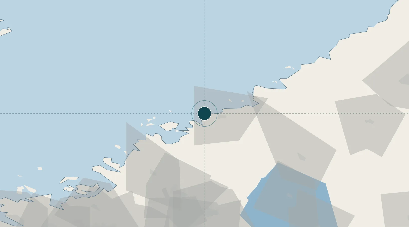
63.8500°, 23.0167°
4.9 m
Channel depth
2
Container terminals
10.8
Port liner connectivity
Channel & Berth Profile
Pilotage, Tugs & Services
Pilotage compulsoryYES
Pilotage availableYES
Pilotage advisableYES
Local assistanceYES
Tug assistanceYES
Potable waterYES
Diesel bunkersYES
MedicalYES
Garbage disposalYES
Facilities & Capabilities
ContainerYES
Ro-RoYES
Liquid bulkYES
Dry bulkYES
Oil terminalNO
Break bulkYES
Dry dock—
RepairsNO
BunkeringYES
Rail linkYES
Dangerous cargo—
ISPS security—
Harbour Specifications
Harbour size
Large
Harbour type
Coastal (Natural)
Shelter
Fair
Water body
Gulf of Bothnia; Baltic Sea; North Atlantic Ocean
Tidal range
1 m
Overhead limit
Yes
Pilotage
Yes
Liner Connectivity
10.8
PLSCI
Port Liner Shipping Connectivity Index for Kokkola, as published by UNCTAD for the latest available quarter. Higher values indicate stronger scheduled liner-shipping integration.
Shown relative to the highest per-port PLSCI in the dataset (1,657.9).
Location
Container Terminals · 2
ALL WEATHER TERMINAL KOKKOLA
AWT OY M RAUANHEIMO AB
SILVERSTONE PORT
STE PORT OF KOKKOLA LTD.
Nearby Logistics Neighbours
Ports
- 1Pietarsaari25 km
- 2Himanka35 km
- 3Nykarleby44 km
- 4Rahja52 km
- 5Kantlax60 km
Cities
- 1Yxpila2 km
- 2Jakobstad (Pietarsaari)22 km
- 3Nedervetil23 km
- 4Alholmen23 km
- 5Kållby (Kolppi)27 km
Airports
- 1Kokkola-Pietarsaari Airport16 km
- 2Kauhava Airfield80 km
- 3Ylivieska Airfield87 km
- 4Vaasa Airport109 km
- 5Skellefteå Airport127 km
Trade Zones
- 1Oulu Port Free Warehouse Area172 km
- 2Turku Free Zone381 km
- 3Free Zone of Lappeenranta408 km
- 4Port of Hamina-Kotka427 km
- 5Freeport of Hanko447 km
DatabookThe Record of Consolidated Knowledge
Finland beyond logistics?