Transport Functions
Port
Hub Profile
Place type
Populated place
Region
Ostrobothnia
Time zone
Europe/Helsinki
Elevation
13 m
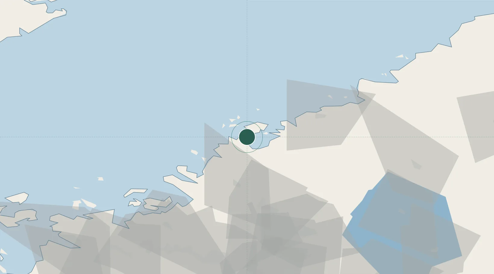
Location
Nearby Logistics Neighbours
Cities
- 1Jakobstad (Pietarsaari)5 km
- 2Pännäinen12 km
- 3Kållby (Kolppi)12 km
- 4Nykarleby (Uusikaarlepyy)20 km
- 5Yxpila22 km
Ports
- 1Pietarsaari3 km
- 2Nykarleby22 km
- 3Kokkola23 km
- 4Kantlax38 km
- 5Hellnas52 km
Airports
- 1Kokkola-Pietarsaari Airport22 km
- 2Kauhava Airfield66 km
- 3Vaasa Airport86 km
- 4Ylivieska Airfield107 km
- 5Seinäjoki Airport112 km
Trade Zones
- 1Oulu Port Free Warehouse Area195 km
- 2Turku Free Zone363 km
- 3Free Zone of Lappeenranta406 km
- 4Port of Hamina-Kotka421 km
- 5Freeport of Hanko431 km
DatabookThe Record of Consolidated Knowledge
Finland beyond logistics?