UN/LOCODE hub · Finland
FIPNN

Pännäinen

63.6000°, 22.8000°
2
Transport functions

Transport Functions

Road
Multimodal
UN/LOCODE

Hub Profile

Region
12
GeoNames

Location

Location of FIPNN
Natural Earth 10m (public domain) · 12 · FIPNN · 63.60, 22.80GoogleOSMYandex

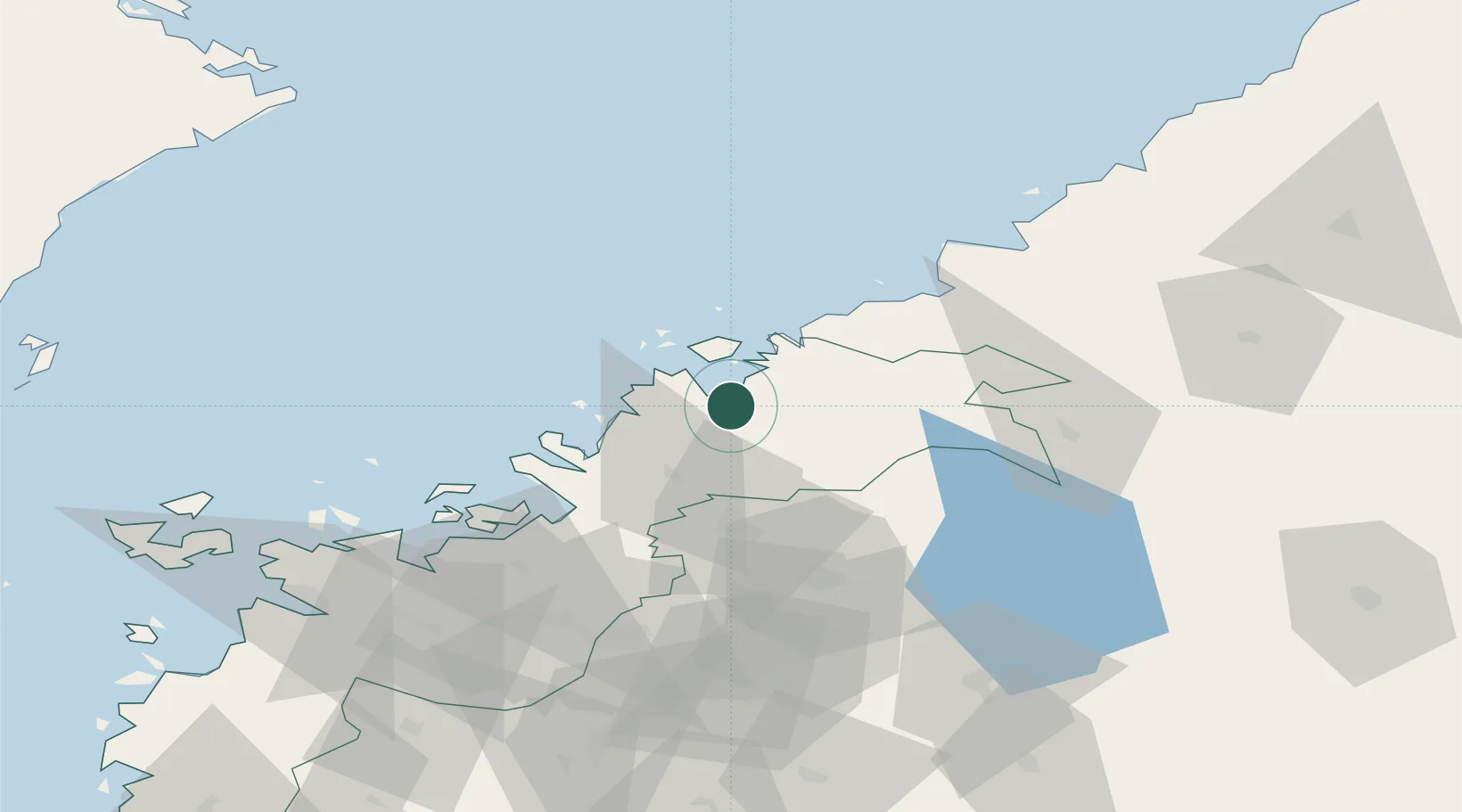
Nearby Logistics Neighbours

Cities
  1. 1Kållby (Kolppi)4 km
  2. 2Jakobstad (Pietarsaari)9 km
  3. 3Alholmen12 km
  4. 4Nykarleby (Uusikaarlepyy)15 km
  5. 5Munsala27 km
Nearest neighbours — logibook spatial index (haversine) over the source coordinates
Ports
  1. 1Pietarsaari11 km
  2. 2Nykarleby16 km
  3. 3Kokkola30 km
  4. 4Kantlax33 km
  5. 5Hellnas45 km
Nearest neighbours — logibook spatial index (haversine) over the source coordinates
Airports
  1. 1Kokkola-Pietarsaari Airport22 km
  2. 2Kauhava Airfield54 km
  3. 3Vaasa Airport80 km
  4. 4Seinäjoki Airport101 km
  5. 5Ylivieska Airfield107 km
Nearest neighbours — logibook spatial index (haversine) over the source coordinates
Trade Zones
  1. 1Oulu Port Free Warehouse Area200 km
  2. 2Turku Free Zone352 km
  3. 3Free Zone of Lappeenranta395 km
  4. 4Port of Hamina-Kotka409 km
  5. 5Freeport of Hanko419 km
Nearest neighbours — logibook spatial index (haversine) over the source coordinates
DatabookThe Record of Consolidated Knowledge
Finland beyond logistics?
Browse databook

All Sources

LocationsUN/LOCODE
UN/LOCODE — free
Portsthe NGA World Port Index
Public domain (US gov)
AirportsOurAirports
Public domain
Trade Zonesthe World Bank SEZ database
CC BY 4.0
Trade ZonesOpen Zone Map
CC BY
← Finland locations