Seaport · Spain
AlmeriaESLEI
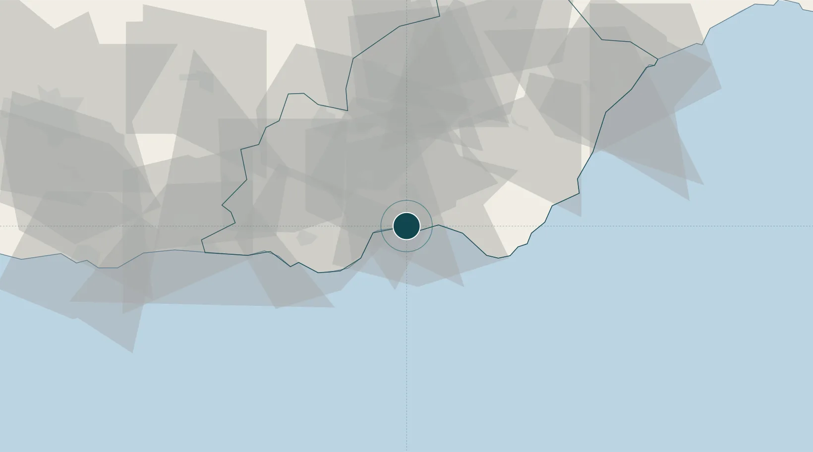
36.8333°, -2.4667°
11.0 m
Channel depth
1
Container terminals
10.9
Port liner connectivity
Channel & Berth Profile
Pilotage, Tugs & Services
Pilotage compulsoryYES
Pilotage availableYES
Tug assistanceYES
Potable waterYES
Diesel bunkersYES
MedicalYES
Garbage disposalYES
Facilities & Capabilities
Container—
Ro-Ro—
Liquid bulk—
Dry bulk—
Oil terminal—
Break bulk—
Dry dock—
RepairsNO
BunkeringYES
Rail linkYES
Dangerous cargo—
ISPS security—
Harbour Specifications
Harbour size
Small
Harbour type
Coastal (Breakwater)
Shelter
Fair
Water body
Mediterranean Sea; North Atlantic Ocean
Tidal range
1 m
Overhead limit
Yes
Pilotage
Yes
Liner Connectivity
10.9
PLSCI
Port Liner Shipping Connectivity Index for Almeria, as published by UNCTAD for the latest available quarter. Higher values indicate stronger scheduled liner-shipping integration.
Shown relative to the highest per-port PLSCI in the dataset (1,657.9).
Location
Container Terminals · 1
ALMERIA TERMINAL
ALMT AUTORIDAD PORTUARIA ALMERIA
Nearby Logistics Neighbours
Ports
- 1Adra52 km
- 2Puerto De Carboneras55 km
- 3Puerto De Garrucha70 km
- 4Motril94 km
- 5Aguilas102 km
Cities
- 1Huércal de Almería6 km
- 2Viator7 km
- 3Aguadulce9 km
- 4El Alquian11 km
- 5Insticio23 km
Airports
- 1Almería Airport9 km
- 2Armilla Air Base109 km
- 3F.G.L. Airport Granada-Jaén Airport123 km
- 4Region of Murcia International Airport160 km
- 5Alcantarilla Air Base166 km
Trade Zones
- 1Melilla Autonomous Community177 km
- 2Depósito Franco de Málaga184 km
- 3Nador WestMed Free Zone188 km
- 4Berkane Agro-Pole210 km
- 5Ait Kamra Economic Activity Zone230 km
DatabookThe Record of Consolidated Knowledge
Spain beyond logistics?