Medium airport · Spain

Alcantarilla Air BaseLERI
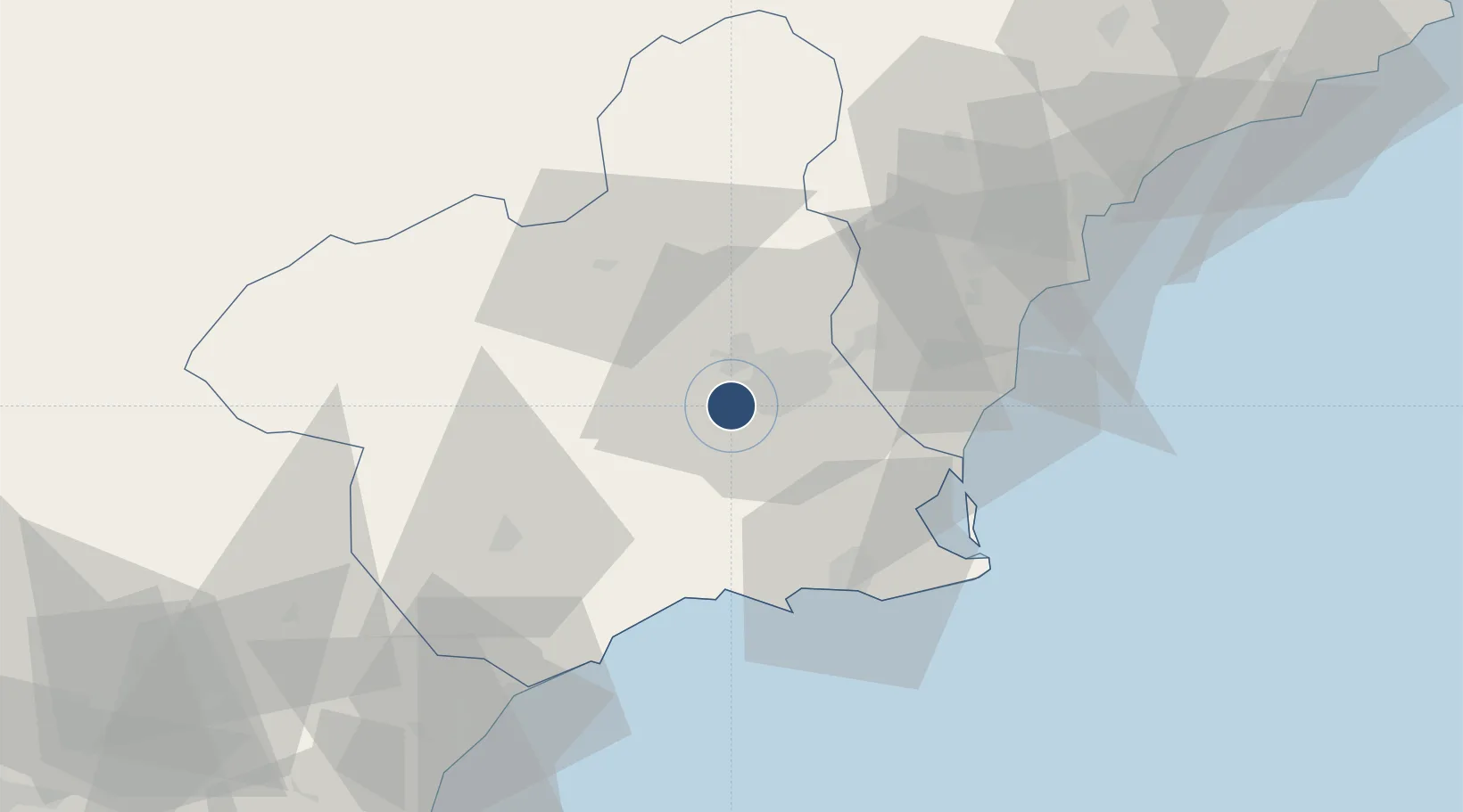
37.9511°, -1.2303°
3,077 ft
Longest runway
1
Runways
250 ft
Elevation

Runway & Layout

Alcantarilla Air Base runway & taxiway layout
Runway & taxiway layout — OpenStreetMap (ODbL) / OurAirports

Radio Frequencies

TWR
118.1 MHz
OurAirports

Navaids

ATR NDB Alcantarilla 345 kHz
TRL TACAN Alcantarilla 116.60 MHz
OurAirports

Runways · 1

RunwayDimensions SurfaceTrue headingLit
07/25 3,077 × 148ft Asphalt 065°
OurAirports

Airport Specifications

ICAO code
LERI
OurAirports
Airport class
Medium airport
OurAirports
Scheduled service
No
OurAirports
Runway surface
Asphalt
OurAirports
Served city
Alcantarilla
OurAirports

Location

Location of LERI
Natural Earth 10m (public domain) · Murcia · LERI · 37.95, -1.23GoogleOSMYandex

Nearby Logistics Neighbours

Airports
  1. 1Region of Murcia International Airport19 km
  2. 2San Javier Airport42 km
  3. 3Alicante-Elche Miguel Hernández Airport69 km
  4. 4Albacete Airport / Los Llanos Air Base124 km
  5. 5Almería Airport159 km
Nearest neighbours — logibook spatial index (haversine) over the source coordinates
Cities
  1. 1Sangonera la Seca2 km
  2. 2Aljucer7 km
  3. 3Nonduermas7 km
  4. 4Las Torres de Cotillas9 km
  5. 5Santo Angel10 km
Nearest neighbours — logibook spatial index (haversine) over the source coordinates
Ports
  1. 1Cartagena46 km
  2. 2Torrevieja48 km
  3. 3Aguilas68 km
  4. 4Alicante78 km
  5. 5Puerto De Garrucha100 km
Nearest neighbours — logibook spatial index (haversine) over the source coordinates
Trade Zones
  1. 1Depósito Franco de Alicante78 km
  2. 2Depósito Franco de Valencia184 km
  3. 3Depósito Franco de Málaga308 km
  4. 4Melilla Autonomous Community333 km
  5. 5Depósito Franco de Madrid-Aeropuerto344 km
Nearest neighbours — logibook spatial index (haversine) over the source coordinates
DatabookThe Record of Consolidated Knowledge
Spain beyond logistics?
Browse databook

All Sources

AirportsOurAirports
Public domain
Portsthe NGA World Port Index
Public domain (US gov)
LocationsUN/LOCODE
UN/LOCODE — free
Trade Zonesthe World Bank SEZ database
CC BY 4.0
Trade ZonesOpen Zone Map
CC BY
InfrastructureOpenStreetMap
ODbL 1.0
← Spain airports