Transport Functions
Multimodal
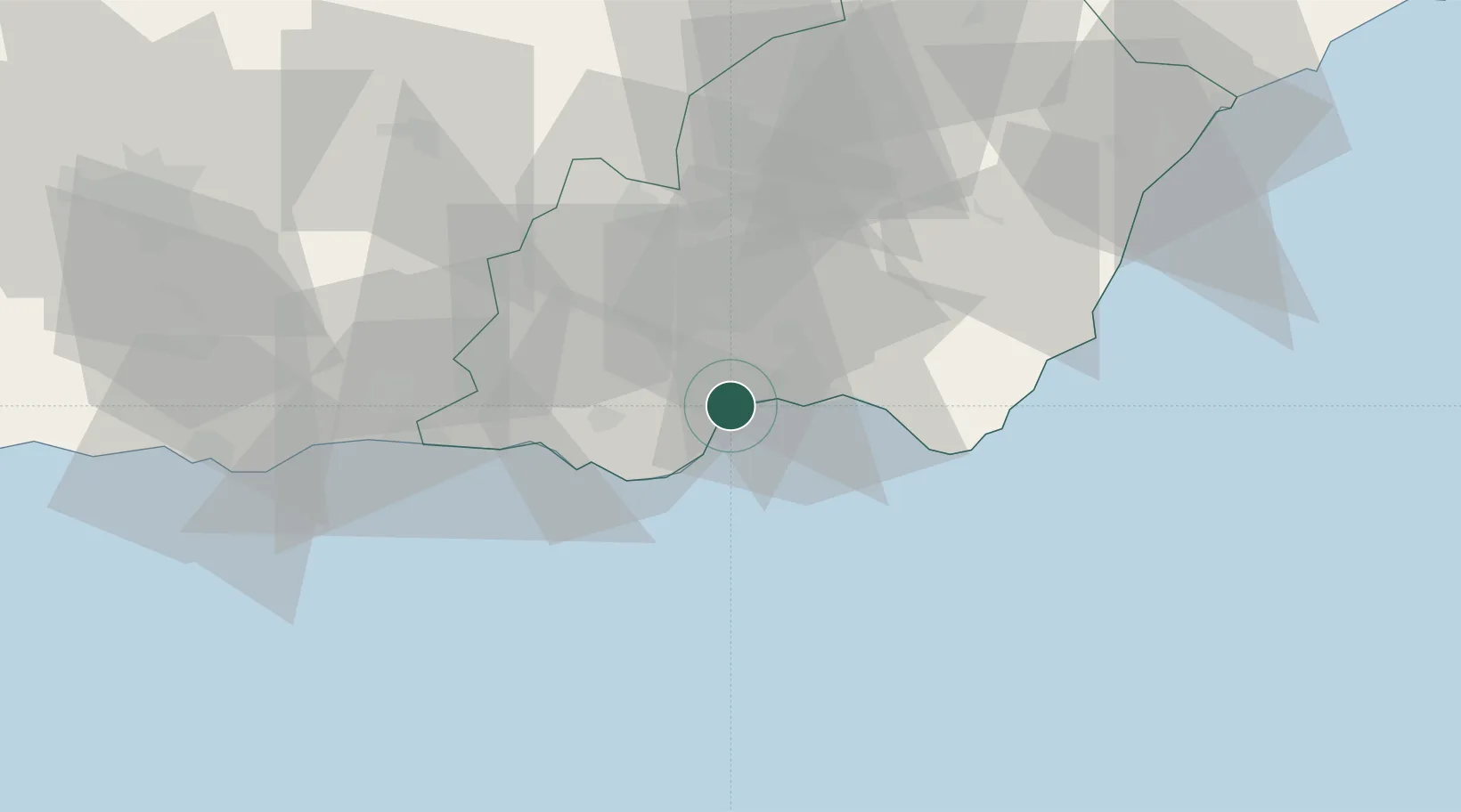
Hub Profile
Place type
Populated place
Region
Andalusia
Population
13,886
Time zone
Europe/Madrid
Elevation
38 m
Location
Nearby Logistics Neighbours
Cities
- 1Almería7 km
- 2Huércal de Almería14 km
- 3Viator15 km
- 4Las Noras de Daza17 km
- 5El Alquian20 km
Ports
- 1Almeria9 km
- 2Adra43 km
- 3Puerto De Carboneras64 km
- 4Puerto De Garrucha78 km
- 5Motril85 km
Airports
- 1Almería Airport18 km
- 2Armilla Air Base101 km
- 3F.G.L. Airport Granada-Jaén Airport115 km
- 4Region of Murcia International Airport168 km
- 5Alcantarilla Air Base173 km
Trade Zones
- 1Melilla Autonomous Community173 km
- 2Depósito Franco de Málaga176 km
- 3Nador WestMed Free Zone184 km
- 4Berkane Agro-Pole208 km
- 5Ait Kamra Economic Activity Zone224 km
DatabookThe Record of Consolidated Knowledge
Spain beyond logistics?