Transport Functions
Multimodal
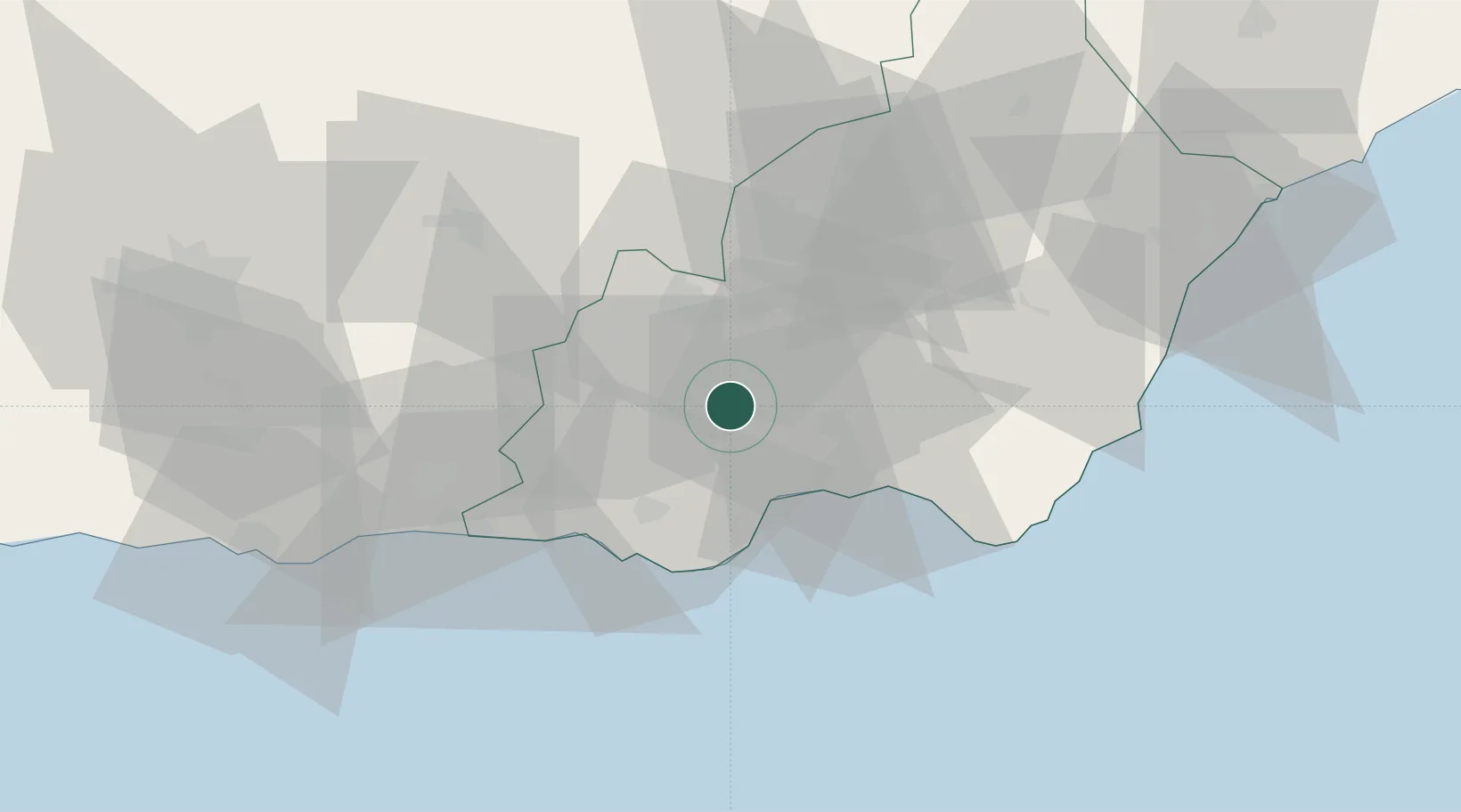
Hub Profile
Region
AL
Location
Nearby Logistics Neighbours
Cities
- 1Fuente Victoria19 km
- 2Aguadulce20 km
- 3Almería22 km
- 4Huércal de Almería22 km
- 5Viator24 km
Ports
- 1Almeria23 km
- 2Adra44 km
- 3Puerto De Carboneras68 km
- 4Puerto De Garrucha77 km
- 5Motril81 km
Airports
- 1Almería Airport29 km
- 2Armilla Air Base89 km
- 3F.G.L. Airport Granada-Jaén Airport103 km
- 4Region of Murcia International Airport163 km
- 5Alcantarilla Air Base165 km
Trade Zones
- 1Depósito Franco de Málaga167 km
- 2Melilla Autonomous Community190 km
- 3Nador WestMed Free Zone200 km
- 4Berkane Agro-Pole228 km
- 5Ait Kamra Economic Activity Zone235 km
DatabookThe Record of Consolidated Knowledge
Spain beyond logistics?