UN/LOCODE hub · Spain
ESHAD
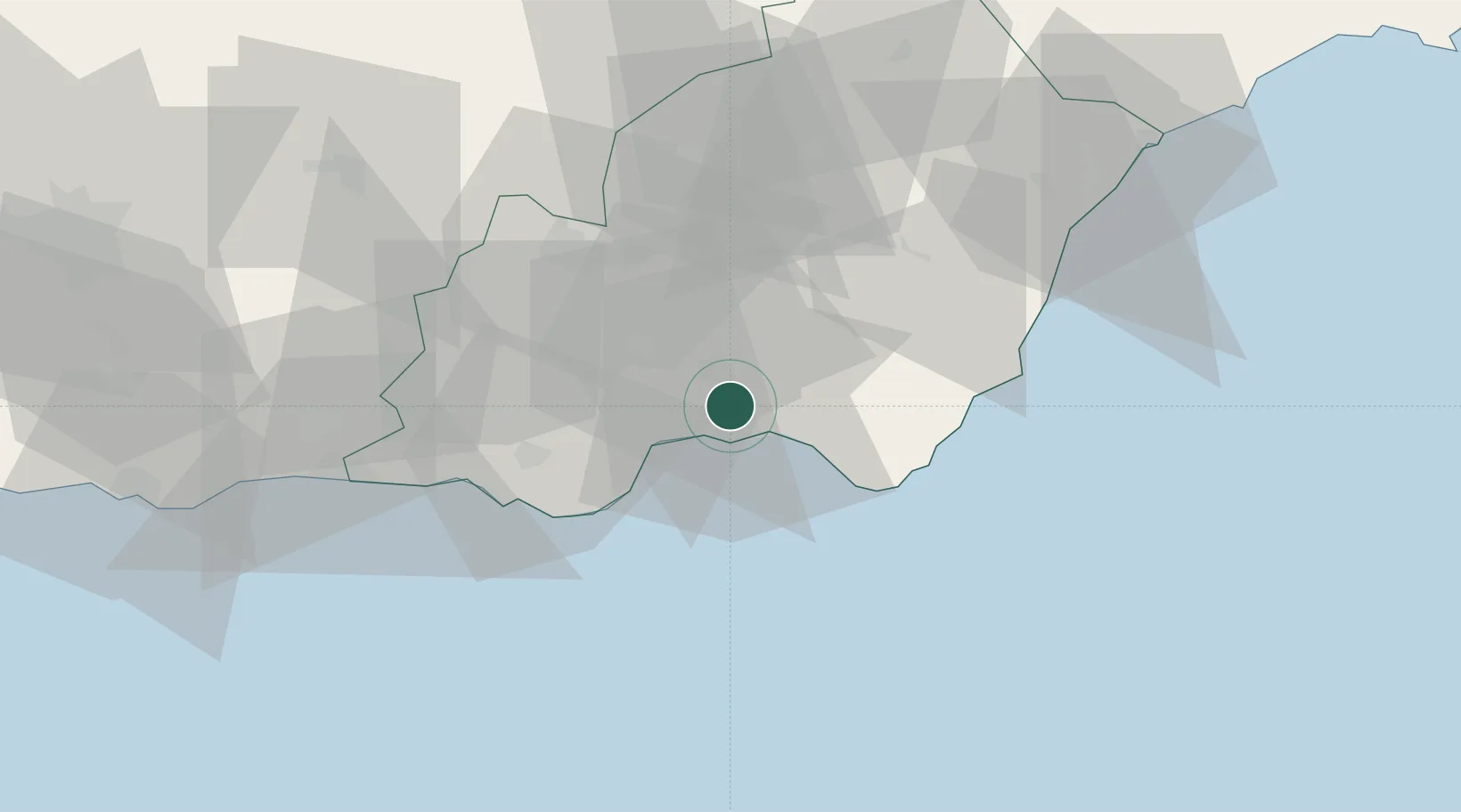
Huércal de Almería
36.8833°, -2.4333°
14,937
Population
2
Transport functions
Transport Functions
Rail
Road
Hub Profile
Place type
District seat
Region
Andalusia
Population
14,937
Time zone
Europe/Madrid
Elevation
73 m
Location
Nearby Logistics Neighbours
Cities
- 1Viator2 km
- 2Almería7 km
- 3El Alquian8 km
- 4Aguadulce14 km
- 5Tabernas19 km
Ports
- 1Almeria6 km
- 2Puerto De Carboneras51 km
- 3Adra56 km
- 4Puerto De Garrucha64 km
- 5Aguilas96 km
Airports
- 1Almería Airport7 km
- 2Armilla Air Base110 km
- 3F.G.L. Airport Granada-Jaén Airport124 km
- 4Region of Murcia International Airport154 km
- 5Alcantarilla Air Base159 km
Trade Zones
- 1Melilla Autonomous Community183 km
- 2Depósito Franco de Málaga187 km
- 3Nador WestMed Free Zone195 km
- 4Berkane Agro-Pole215 km
- 5Depósito Franco de Alicante235 km
DatabookThe Record of Consolidated Knowledge
Spain beyond logistics?