UN/LOCODE hub · Spain
ESLEI
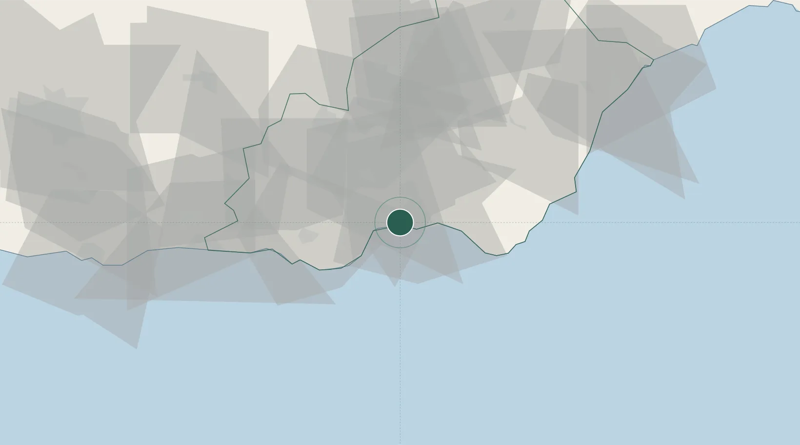
Almería
36.8385°, -2.4876°
196,851
Population
4
Transport functions
1
Container terminals
Transport Functions
Port
Rail
Road
Airport
Hub Profile
Place type
Provincial seat
Region
Andalusia
Population
196,851
Time zone
Europe/Madrid
Elevation
21 m
Logistics facilities
3
Container terminals
1
Location
Nearby Logistics Neighbours
Cities
- 1Huércal de Almería7 km
- 2Aguadulce7 km
- 3Viator8 km
- 4El Alquian12 km
- 5Insticio22 km
Ports
- 1Adra50 km
- 2Puerto De Carboneras57 km
- 3Puerto De Garrucha71 km
- 4Motril92 km
- 5Aguilas103 km
Airports
- 1Almería Airport11 km
- 2Armilla Air Base107 km
- 3F.G.L. Airport Granada-Jaén Airport121 km
- 4Region of Murcia International Airport161 km
- 5Alcantarilla Air Base166 km
Trade Zones
- 1Melilla Autonomous Community177 km
- 2Depósito Franco de Málaga182 km
- 3Nador WestMed Free Zone188 km
- 4Berkane Agro-Pole210 km
- 5Ait Kamra Economic Activity Zone230 km
DatabookThe Record of Consolidated Knowledge
Spain beyond logistics?