Transport Functions
Port
Rail
Road
Multimodal
Postal
Hub Profile
Place type
Populated place
Region
Canary Islands
Time zone
Atlantic/Canary
Elevation
26 m
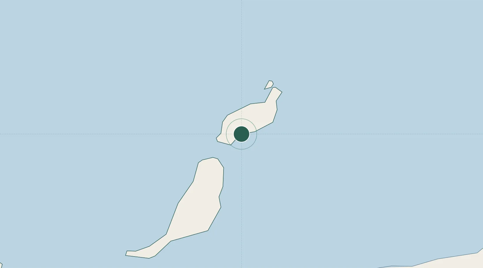
Location
Nearby Logistics Neighbours
Cities
- 1Puerto del Carmen3 km
- 2San Bartolomé de Tirajana13 km
- 3Lanzarote17 km
- 4La Graciosa39 km
- 5Caleta de Sebo40 km
Ports
- 1Arrecife17 km
- 2Puerto Del Rosario49 km
- 3Las Palmas188 km
- 4Laayoune206 km
- 5Santa Cruz De Tenerife252 km
Airports
- 1César Manrique-Lanzarote Airport10 km
- 2Fuerteventura Airport54 km
- 3Gran Canaria Airport198 km
- 4Laayoune Hassan I International Airport203 km
- 5Tan Tan Airport253 km
Trade Zones
DatabookThe Record of Consolidated Knowledge
Spain beyond logistics?