UN/LOCODE hub · Spain
ESSBT

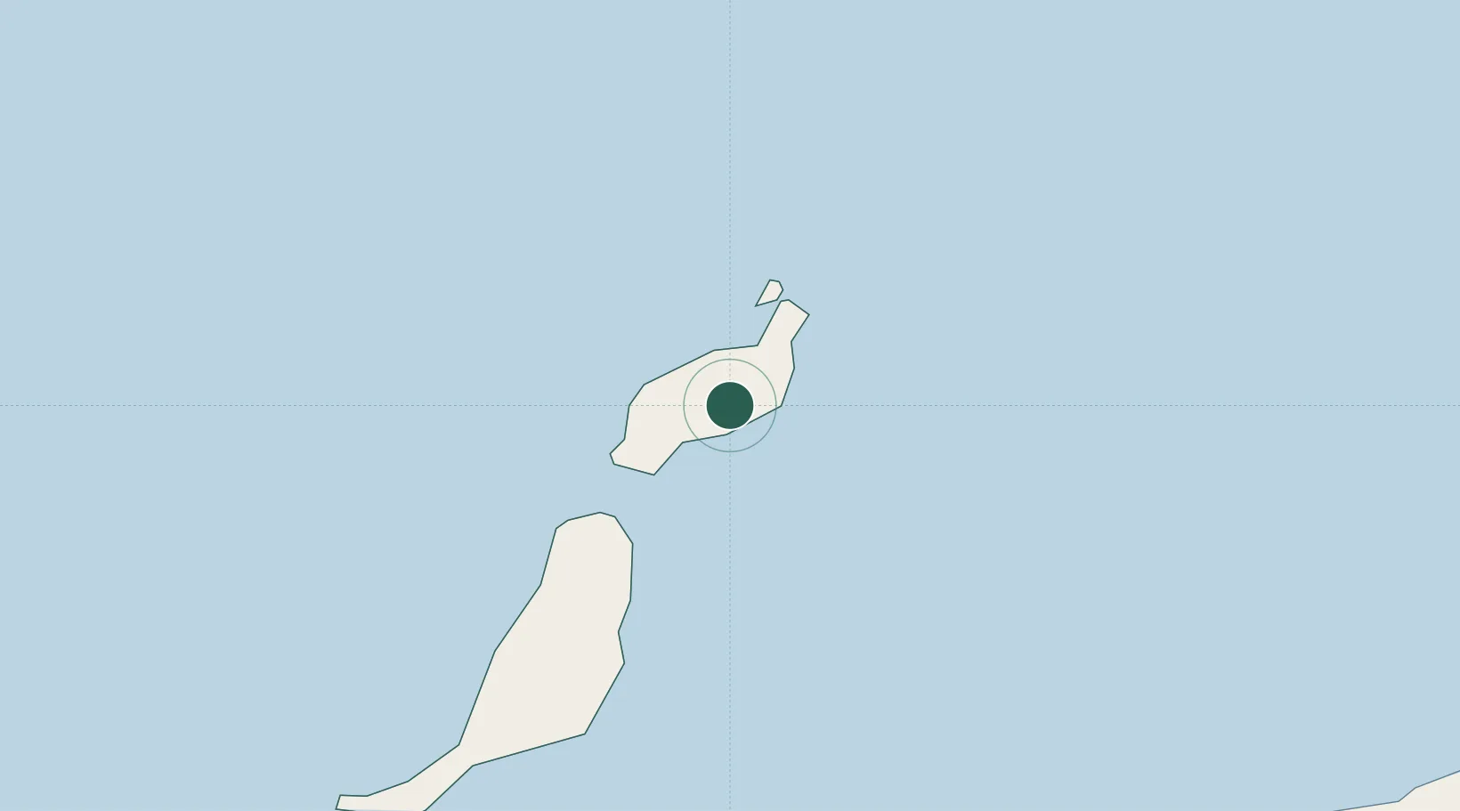
San Bartolomé de Tirajana

29.0000°, -13.6000°
53,588
Population
2
Transport functions

Transport Functions

Port
Road
UN/LOCODE

Hub Profile

Place type
Populated place
GeoNames
Region
Canary Islands
GeoNames
Population
53,588
GeoNames
Time zone
Atlantic/Canary
GeoNames
Elevation
902 m
GeoNames

Location

Location of ESSBT
Natural Earth 10m (public domain) · Canary Islands · ESSBT · 29.00, -13.60GoogleOSMYandex

Nearby Logistics Neighbours

Cities
  1. 1Lanzarote7 km
  2. 2Puerto del Carmen11 km
  3. 3Puerto Calero13 km
  4. 4La Graciosa26 km
  5. 5Caleta de Sebo28 km
Nearest neighbours — logibook spatial index (haversine) over the source coordinates
Ports
  1. 1Arrecife9 km
  2. 2Puerto Del Rosario61 km
  3. 3Las Palmas201 km
  4. 4Laayoune214 km
  5. 5Santa Cruz De Tenerife264 km
Nearest neighbours — logibook spatial index (haversine) over the source coordinates
Airports
  1. 1César Manrique-Lanzarote Airport6 km
  2. 2Fuerteventura Airport66 km
  3. 3Laayoune Hassan I International Airport210 km
  4. 4Gran Canaria Airport211 km
  5. 5Tan Tan Airport246 km
Nearest neighbours — logibook spatial index (haversine) over the source coordinates
Trade Zones
  1. 1Zona Franca de Las Palmas de Gran Canaria199 km
  2. 2Zona Franca de Tenerife265 km
  3. 3Bîr Oum Ghrïn Free Zone465 km
  4. 4Centro Internacional De Negocios da Madeira514 km
  5. 5Omrane Sahel Industrial Zone546 km
Nearest neighbours — logibook spatial index (haversine) over the source coordinates
DatabookThe Record of Consolidated Knowledge
Spain beyond logistics?
Browse databook

All Sources

LocationsUN/LOCODE
UN/LOCODE — free
LocationsGeoNames
CC BY 4.0
Portsthe NGA World Port Index
Public domain (US gov)
AirportsOurAirports
Public domain
Trade Zonesthe World Bank SEZ database
CC BY 4.0
Trade ZonesOpen Zone Map
CC BY
← Spain locations