Transport Functions
Port
Hub Profile
Region
GC
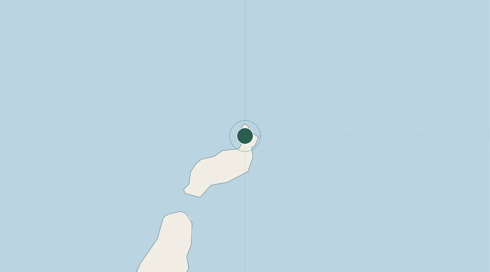
Location
Nearby Logistics Neighbours
Cities
- 1Caleta de Sebo2 km
- 2Orzola5 km
- 3San Bartolomé de Tirajana26 km
- 4Lanzarote27 km
- 5Puerto del Carmen37 km
Ports
- 1Arrecife30 km
- 2Puerto Del Rosario87 km
- 3Las Palmas221 km
- 4Laayoune237 km
- 5Santa Cruz De Tenerife279 km
Airports
- 1César Manrique-Lanzarote Airport32 km
- 2Fuerteventura Airport92 km
- 3Laayoune Hassan I International Airport232 km
- 4Gran Canaria Airport233 km
- 5Tan Tan Airport243 km
Trade Zones
DatabookThe Record of Consolidated Knowledge
Spain beyond logistics?