UN/LOCODE hub · Spain
ESACE

Lanzarote

28.9715°, -13.5323°
2
Transport functions
2
Container terminals

Transport Functions

Port
Airport
Lanzarote is also a profiled seaport →
UN/LOCODE

Hub Profile

Region
GC
GeoNames
Logistics facilities
4
UN/LOCODE
Container terminals
2
UN/LOCODE

Location

Location of ESACE
Natural Earth 10m (public domain) · GC · ESACE · 28.97, -13.53GoogleOSMYandex

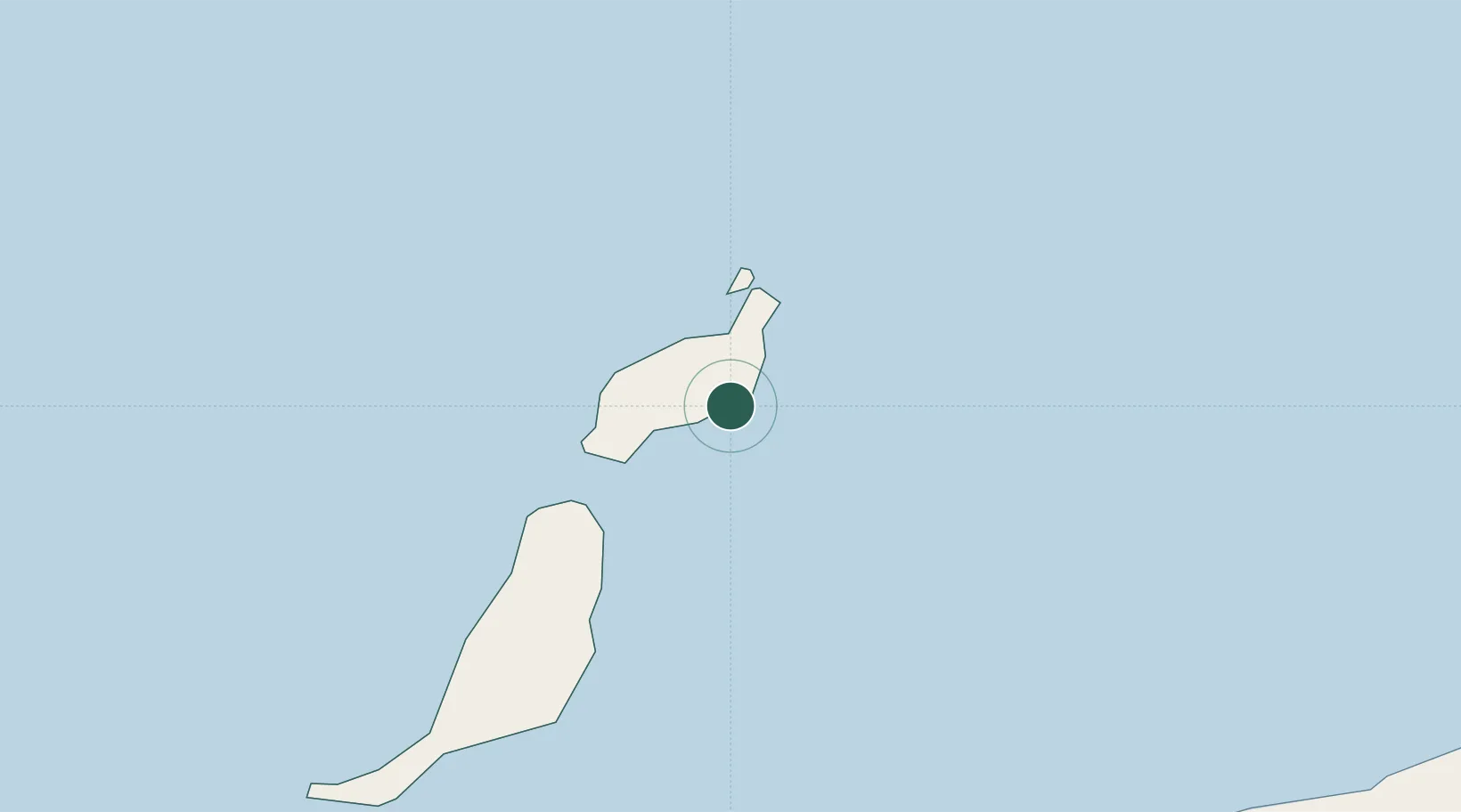
Nearby Logistics Neighbours

Cities
  1. 1San Bartolomé de Tirajana7 km
  2. 2Puerto del Carmen14 km
  3. 3Puerto Calero17 km
  4. 4La Graciosa27 km
  5. 5Orzola28 km
Nearest neighbours — logibook spatial index (haversine) over the source coordinates
Ports
  1. 1Puerto Del Rosario61 km
  2. 2Las Palmas206 km
  3. 3Laayoune210 km
  4. 4Santa Cruz De Tenerife269 km
  5. 5Agadir410 km
Nearest neighbours — logibook spatial index (haversine) over the source coordinates
Airports
  1. 1César Manrique-Lanzarote Airport8 km
  2. 2Fuerteventura Airport66 km
  3. 3Laayoune Hassan I International Airport206 km
  4. 4Gran Canaria Airport215 km
  5. 5Tan Tan Airport238 km
Nearest neighbours — logibook spatial index (haversine) over the source coordinates
Trade Zones
  1. 1Zona Franca de Las Palmas de Gran Canaria204 km
  2. 2Zona Franca de Tenerife270 km
  3. 3Bîr Oum Ghrïn Free Zone459 km
  4. 4Centro Internacional De Negocios da Madeira521 km
  5. 5Omrane Sahel Industrial Zone542 km
Nearest neighbours — logibook spatial index (haversine) over the source coordinates
DatabookThe Record of Consolidated Knowledge
Spain beyond logistics?
Browse databook

All Sources

LocationsUN/LOCODE
UN/LOCODE — free
Portsthe NGA World Port Index
Public domain (US gov)
AirportsOurAirports
Public domain
Trade Zonesthe World Bank SEZ database
CC BY 4.0
Trade ZonesOpen Zone Map
CC BY
← Spain locations