Seaport · Morocco
AgadirMAAGA
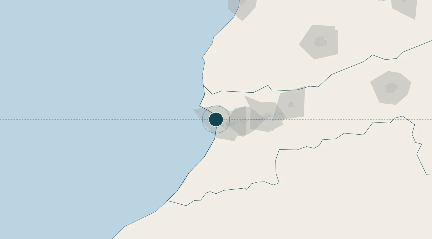
30.4333°, -9.6333°
7.9 m
Channel depth
1
Container terminals
85.4
Port liner connectivity
Channel & Berth Profile
Pilotage, Tugs & Services
Pilotage compulsoryYES
Pilotage availableYES
Tug assistanceYES
Potable waterYES
Diesel bunkersYES
MedicalYES
Facilities & Capabilities
Container—
Ro-Ro—
Liquid bulk—
Dry bulk—
Oil terminal—
Break bulk—
Dry dock—
RepairsNO
BunkeringYES
Rail link—
Dangerous cargo—
ISPS security—
Harbour Specifications
Harbour size
Large
Harbour type
Coastal (Breakwater)
Shelter
Fair
Water body
North Atlantic Ocean
Tidal range
3 m
Pilotage
Yes
Liner Connectivity
85.4
PLSCI
Port Liner Shipping Connectivity Index for Agadir, as published by UNCTAD for the latest available quarter. Higher values indicate stronger scheduled liner-shipping integration.
Shown relative to the highest per-port PLSCI in the dataset (1,657.9).
Location
Container Terminals · 1
AGADIR CONTAINER TERMINAL
ACT MARSA MAROC
Nearby Logistics Neighbours
Ports
- 1Essaouira120 km
- 2Safi211 km
- 3El Jorf Lasfar314 km
- 4El Jadida331 km
- 5Casablanca400 km
Cities
- 1Anza2 km
- 2Aït Melloul18 km
- 3Taroudant74 km
- 4Essaouira110 km
- 5Imintanoute111 km
Airports
- 1Al Massira Airport25 km
- 2Essaouira-Mogador Airport107 km
- 3Marrakesh Menara Airport200 km
- 4Tan Tan Airport266 km
- 5Ouarzazate International Airport267 km
Trade Zones
DatabookThe Record of Consolidated Knowledge
Morocco beyond logistics?