Transport Functions
Port
Hub Profile
Place type
Populated place
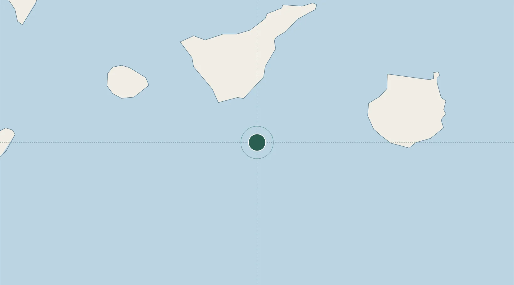
Region
Canary Islands
Time zone
Atlantic/Canary
Elevation
10 m
Location
Nearby Logistics Neighbours
Cities
- 1El Medano30 km
- 2Puerto de Granadilla32 km
- 3Las Galletas32 km
- 4Costa Adeje43 km
- 5Playa San Juan55 km
Ports
- 1Santa Cruz De Tenerife81 km
- 2Las Palmas112 km
- 3Santa Cruz De La Palma162 km
- 4Puerto Del Rosario269 km
- 5Laayoune309 km
Airports
- 1Tenerife Sur Airport33 km
- 2La Gomera Airport79 km
- 3Tenerife Norte-Ciudad de La Laguna Airport81 km
- 4Gran Canaria Airport108 km
- 5El Hierro Airport140 km
Trade Zones
DatabookThe Record of Consolidated Knowledge
Spain beyond logistics?