UN/LOCODE hub · Estonia
EETMN

Tammneeme Sadam

59.5167°, 24.8833°
1
Transport functions

Transport Functions

Port
UN/LOCODE

Hub Profile

Region
37
GeoNames

Location

Location of EETMN
Natural Earth 10m (public domain) · 37 · EETMN · 59.52, 24.88GoogleOSMYandex

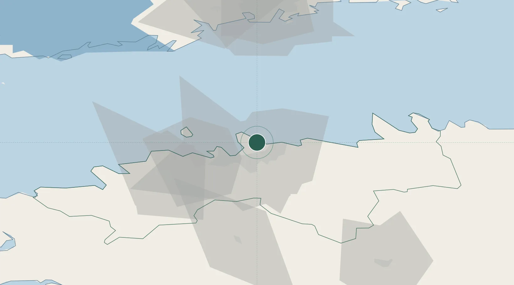
Nearby Logistics Neighbours

Cities
  1. 1Leppneeme3 km
  2. 2Leppneeme Kalasadam4 km
  3. 3Miiduranna4 km
  4. 4Kelvingi5 km
  5. 5Kalevi Jahtklubi6 km
Nearest neighbours — logibook spatial index (haversine) over the source coordinates
Ports
  1. 1Miiduranna4 km
  2. 2Muuga-Port of Tallin5 km
  3. 3Vanasadam - Port of Tallinn10 km
  4. 4Paljassaare12 km
  5. 5Lahesuu12 km
Nearest neighbours — logibook spatial index (haversine) over the source coordinates
Airports
  1. 1Tallinn Linnahall Heliport11 km
  2. 2Lennart Meri Tallinn Airport12 km
  3. 3Ämari Air Base48 km
  4. 4Helsinki Vantaa Airport89 km
  5. 5Pärnu Airport124 km
Nearest neighbours — logibook spatial index (haversine) over the source coordinates
Trade Zones
  1. 1Muuga Free Zone26 km
  2. 2Paldiski Free Zone50 km
  3. 3Freeport of Hanko118 km
  4. 4Port of Hamina-Kotka156 km
  5. 5Port of Sillamäe161 km
Nearest neighbours — logibook spatial index (haversine) over the source coordinates
DatabookThe Record of Consolidated Knowledge
Estonia beyond logistics?
Browse databook

All Sources

LocationsUN/LOCODE
UN/LOCODE — free
Portsthe NGA World Port Index
Public domain (US gov)
AirportsOurAirports
Public domain
Trade Zonesthe World Bank SEZ database
CC BY 4.0
Trade ZonesOpen Zone Map
CC BY
← Estonia locations