Free Zone · Dominican Republic
San Pedro De MacorÃs Industrial Free Zone Active
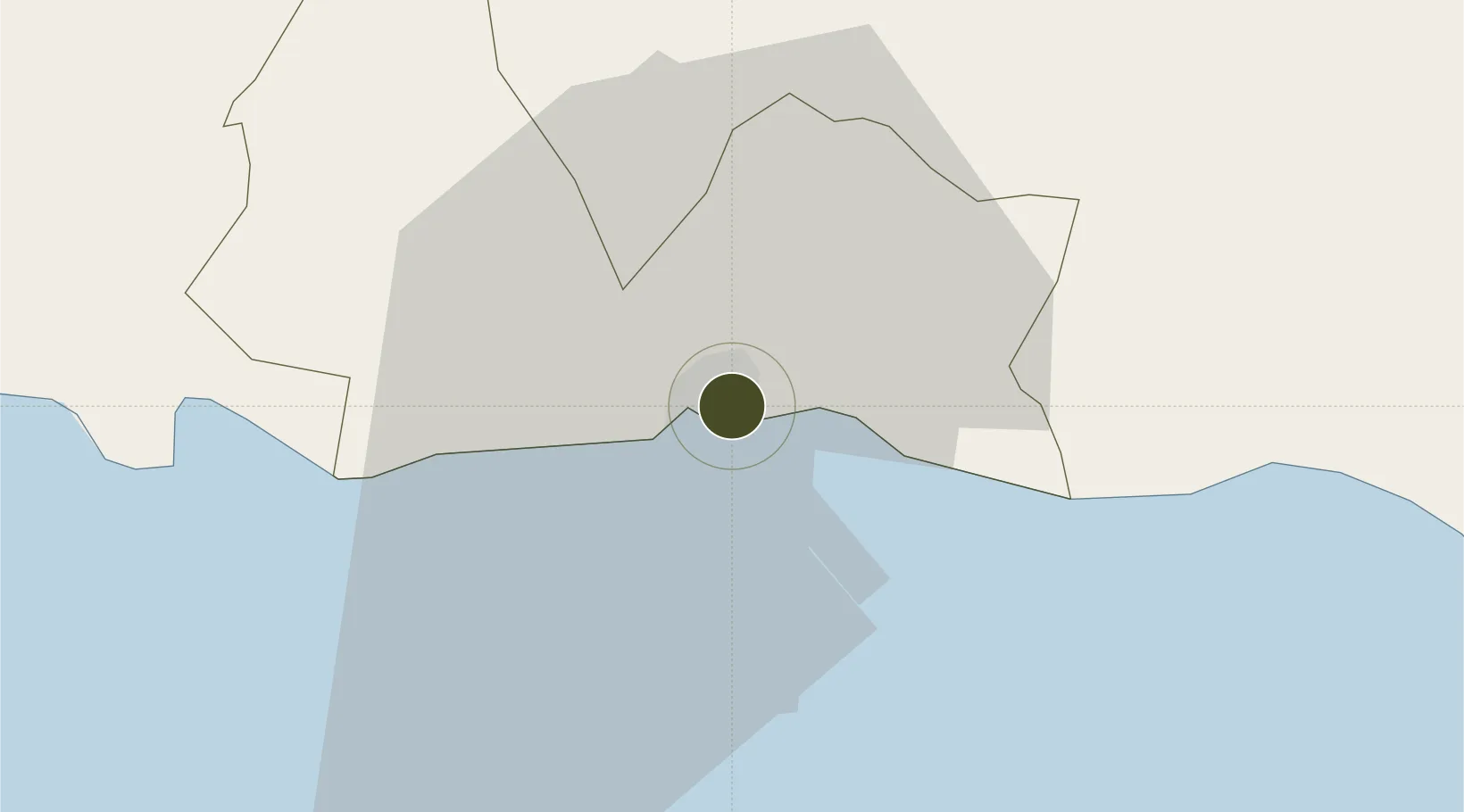
18.4519°, -69.2885°
110 ha
Zone area
3.0 km
Nearest port
29.7 km
Nearest airport
Gateway access
Zone profile
Zone type
Free Zone
Region
San Pedro de Macorís
Status
Active
Established
1973
Management
State-owned enterprise
Operator
Industrial Development Corporation
Regulatory authority
Consejo Nacional de Zonas Francas de Exportacion
Legal framework
Free Zones Law 8-90
Location
Fiscal & incentives
Corporate tax
27%
Tax relief
100% exempt
Relief duration
15 years
VAT
No exemption
Import duty (inputs)
100% exempt
Import duty (capex)
100% exempt
Profit repatriation
No exemption
Capital gains
No exemption
Withholding tax
No exemption
Min. investment
None
Min. export
80% for products and serviced produced locally only
Employment incentive
No exemption
Developer incentive
Yes
Nearby Logistics Neighbours
Ports
- 1San Pedro De Macoris3 km
- 2La Romana34 km
- 3Andres (Andres Lng Terminal)36 km
- 4Santo Domingo63 km
- 5Puerto De Haina77 km
Airports
Cities
- 1San Pedro de Macorís1 km
- 2Juan Dolio14 km
- 3Catalina Island32 km
- 4Caucedo38 km
- 5Casa de Campo41 km
DatabookThe Record of Consolidated Knowledge
Dominican Republic beyond logistics?