Seaport · Sweden
GoteborgSEGOT
57.7097°, 11.9547°
7.9 m
Channel depth
3
Container terminals
187.9
Port liner connectivity
Channel & Berth Profile
Pilotage, Tugs & Services
Pilotage compulsoryYES
Pilotage availableYES
Pilotage advisableYES
Local assistanceYES
Tug assistanceYES
Shore powerYES
Potable waterYES
Diesel bunkersYES
MedicalYES
Garbage disposalYES
Facilities & Capabilities
Container—
Ro-Ro—
Liquid bulk—
Dry bulk—
Oil terminal—
Break bulk—
Dry dockNO
RepairsNO
BunkeringYES
Rail linkYES
Dangerous cargo—
ISPS security—
Harbour Specifications
Harbour size
Large
Harbour type
River (Tide Gates)
Shelter
Good
Water body
Kattegat; North Atlantic Ocean
Overhead limit
Yes
Pilotage
Yes
Liner Connectivity
187.9
PLSCI
Port Liner Shipping Connectivity Index for Goteborg, as published by UNCTAD for the latest available quarter. Higher values indicate stronger scheduled liner-shipping integration.
Shown relative to the highest per-port PLSCI in the dataset (1,657.9).
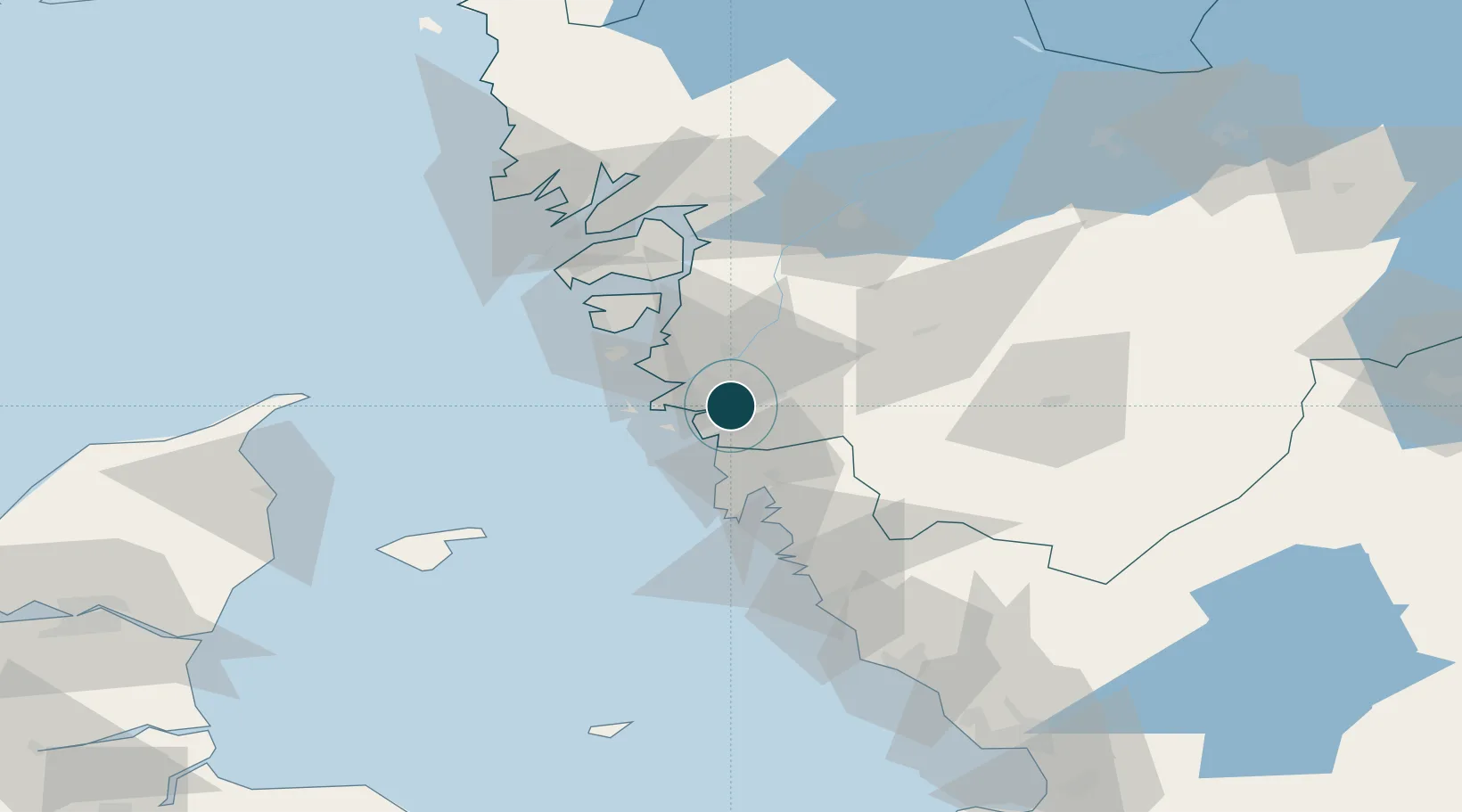
Location
Container Terminals · 3
CAR TERMINAL GOTHENBURG
CAR LOGENT PORTS & TERMINALS AB
APM TERMINALS GOTHENBURG
CT1
RORO TERMINAL GOTHENBURG
RTG DFDS A/S
Nearby Logistics Neighbours
Ports
- 1Marstrand29 km
- 2Stenungsund42 km
- 3Varberg69 km
- 4Lysekil69 km
- 5Uddevalla70 km
Cities
- 1Agnesberg8 km
- 2Pixbo/Härryda10 km
- 3Angered12 km
- 4Surte12 km
- 5Mölnlycke13 km
Airports
- 1Säve Airport9 km
- 2Göteborg Landvetter Airport20 km
- 3Trollhättan-Vänersborg Airport71 km
- 4Læsø Airport75 km
- 5Såtenäs Air Base91 km
Trade Zones
DatabookThe Record of Consolidated Knowledge
Sweden beyond logistics?