UN/LOCODE hub · Sweden
SEHNO

Hönö

57.6833°, 11.6333°
1
Transport functions

Transport Functions

Multimodal
UN/LOCODE

Hub Profile

Region
O
GeoNames

Location

Location of SEHNO
Natural Earth 10m (public domain) · O · SEHNO · 57.68, 11.63GoogleOSMYandex

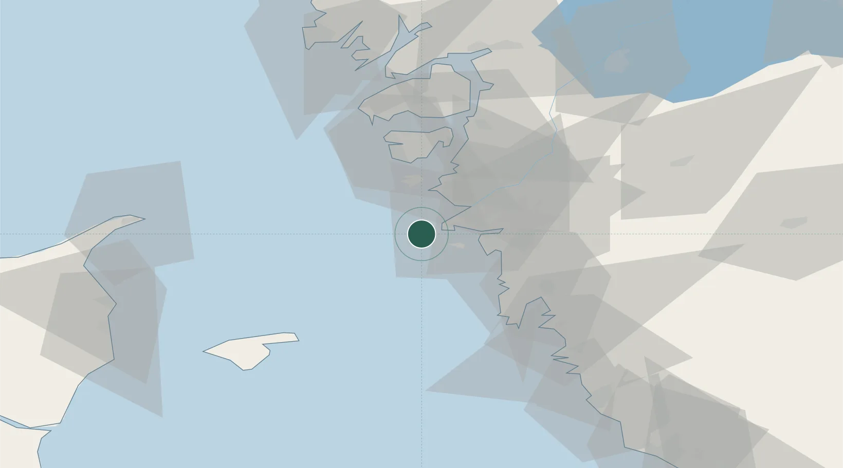
Nearby Logistics Neighbours

Cities
  1. 1Sandvik, Styrsö11 km
  2. 2Göteborg13 km
  3. 3Vrångö16 km
  4. 4Agnesberg24 km
  5. 5Kullavik24 km
Nearest neighbours — logibook spatial index (haversine) over the source coordinates
Ports
  1. 1Goteborg19 km
  2. 2Marstrand23 km
  3. 3Stenungsund45 km
  4. 4Skagen Havn62 km
  5. 5Lysekil66 km
Nearest neighbours — logibook spatial index (haversine) over the source coordinates
Airports
  1. 1Säve Airport17 km
  2. 2Göteborg Landvetter Airport39 km
  3. 3Læsø Airport59 km
  4. 4Trollhättan-Vänersborg Airport82 km
  5. 5Sindal Airport86 km
Nearest neighbours — logibook spatial index (haversine) over the source coordinates
Trade Zones
  1. 1Gothenburg Boundless Customs Warehouse11 km
  2. 2Jönköping Free Zone146 km
  3. 3Freeport of Copenhagen- Nordhavn227 km
  4. 4MTS Malmö Transport and Spedition248 km
  5. 5Freeport of Kiel383 km
Nearest neighbours — logibook spatial index (haversine) over the source coordinates
DatabookThe Record of Consolidated Knowledge
Sweden beyond logistics?
Browse databook

All Sources

LocationsUN/LOCODE
UN/LOCODE — free
Portsthe NGA World Port Index
Public domain (US gov)
AirportsOurAirports
Public domain
Trade Zonesthe World Bank SEZ database
CC BY 4.0
Trade ZonesOpen Zone Map
CC BY
← Sweden locations