UN/LOCODE hub · Sweden
SEKLD

Klädesholmen

57.9500°, 11.5333°
3
Transport functions

Transport Functions

Port
Road
Multimodal
UN/LOCODE

Hub Profile

Region
O
GeoNames

Location

Location of SEKLD
Natural Earth 10m (public domain) · O · SEKLD · 57.95, 11.53GoogleOSMYandex

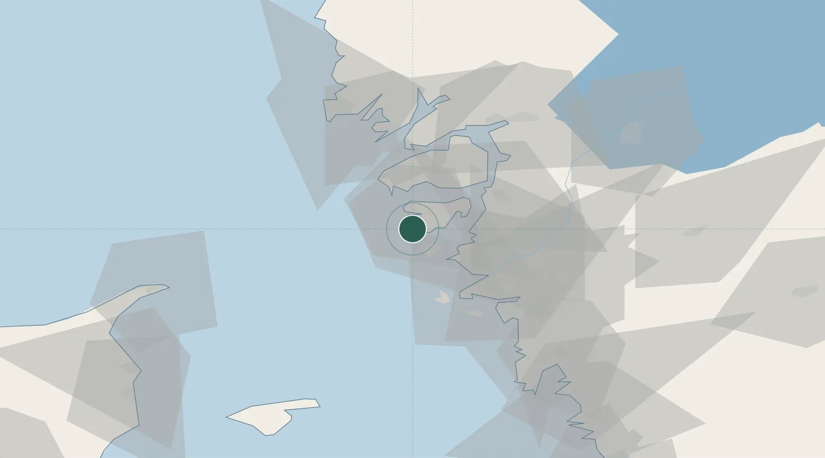
Nearby Logistics Neighbours

Cities
  1. 1Rönnäng4 km
  2. 2Skärhamn4 km
  3. 3Kyrkesund8 km
  4. 4Wallhamn12 km
  5. 5Jörlanda17 km
Nearest neighbours — logibook spatial index (haversine) over the source coordinates
Ports
  1. 1Marstrand8 km
  2. 2Stenungsund21 km
  3. 3Lysekil36 km
  4. 4Goteborg37 km
  5. 5Brofjorden46 km
Nearest neighbours — logibook spatial index (haversine) over the source coordinates
Airports
  1. 1Säve Airport28 km
  2. 2Göteborg Landvetter Airport55 km
  3. 3Trollhättan-Vänersborg Airport63 km
  4. 4Læsø Airport81 km
  5. 5Såtenäs Air Base87 km
Nearest neighbours — logibook spatial index (haversine) over the source coordinates
Trade Zones
  1. 1Gothenburg Boundless Customs Warehouse32 km
  2. 2Jönköping Free Zone153 km
  3. 3Freeport of Copenhagen- Nordhavn257 km
  4. 4MTS Malmö Transport and Spedition277 km
  5. 5Freeport of Kiel411 km
Nearest neighbours — logibook spatial index (haversine) over the source coordinates
DatabookThe Record of Consolidated Knowledge
Sweden beyond logistics?
Browse databook

All Sources

LocationsUN/LOCODE
UN/LOCODE — free
Portsthe NGA World Port Index
Public domain (US gov)
AirportsOurAirports
Public domain
Trade Zonesthe World Bank SEZ database
CC BY 4.0
Trade ZonesOpen Zone Map
CC BY
← Sweden locations